Transport Functions
Road
Multimodal
Hub Profile
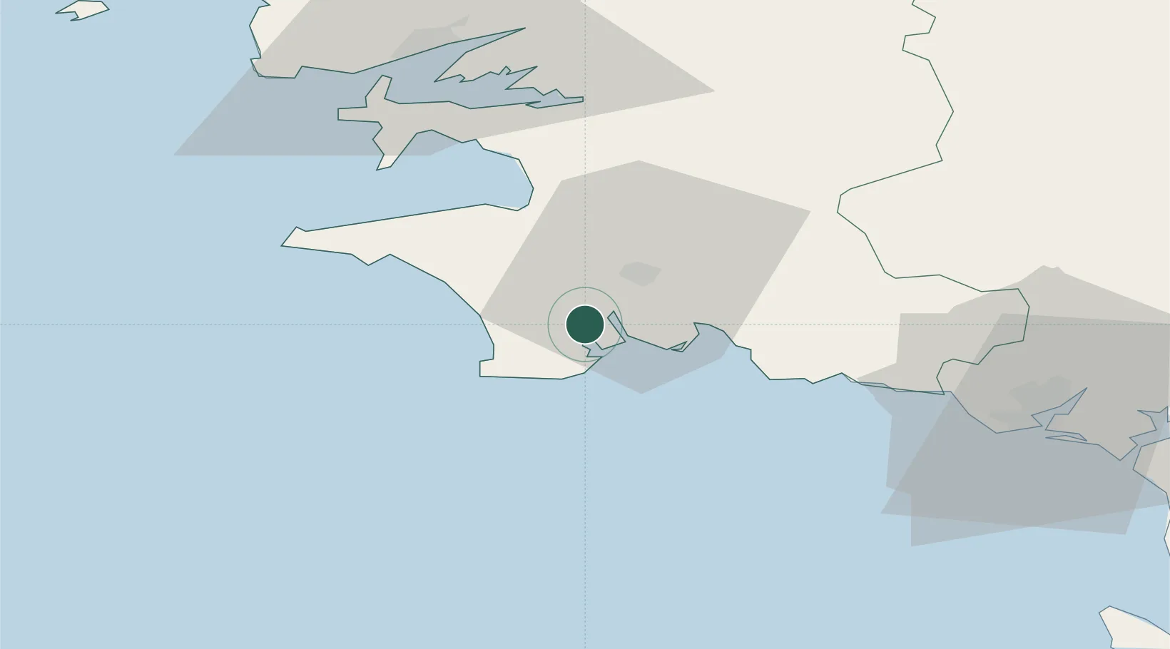
Place type
Populated place
Region
Brittany
Population
3,339
Time zone
Europe/Paris
Elevation
27 m
Location
Nearby Logistics Neighbours
Cities
- 1Pont-l'Abbé5 km
- 2Bénodet7 km
- 3Loctudy8 km
- 4Île-Tudy8 km
- 5Plomeur11 km
Ports
- 1Concarneau20 km
- 2Rade De Brest59 km
- 3Lorient64 km
- 4Morlaix80 km
- 5Port De Roscoff-Bloscon94 km
Airports
Trade Zones
- 1ZFU Saint-Nazaire159 km
- 2ZFU Nantes et Saint-Herblain201 km
- 3ZFU Cherbourg-Octeville267 km
- 4ZFU Angers272 km
- 5Oceansgate Plymouth275 km
DatabookThe Record of Consolidated Knowledge
France beyond logistics?