UN/LOCODE hub · France
FRLOC

Loctudy

47.8333°, -4.1667°
3,867
Population
1
Transport functions

Transport Functions

Port
UN/LOCODE

Hub Profile

Place type
Populated place
GeoNames
Region
Brittany
GeoNames
Population
3,867
GeoNames
Time zone
Europe/Paris
GeoNames
Elevation
10 m
GeoNames

Location

Location of FRLOC
Natural Earth 10m (public domain) · Brittany · FRLOC · 47.83, -4.17GoogleOSMYandex

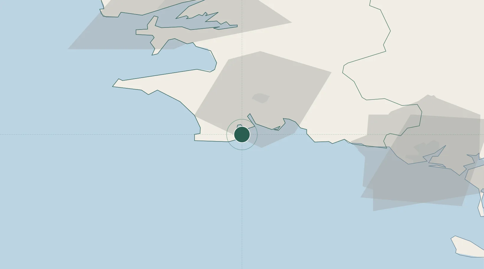
Nearby Logistics Neighbours

Cities
  1. 1Île-Tudy0 km
  2. 2Pont-l'Abbé5 km
  3. 3Lesconil5 km
  4. 4Bénodet6 km
  5. 5Combrit8 km
Nearest neighbours — logibook spatial index (haversine) over the source coordinates
Ports
  1. 1Concarneau19 km
  2. 2Lorient62 km
  3. 3Rade De Brest66 km
  4. 4Morlaix87 km
  5. 5Port De Roscoff-Bloscon101 km
Nearest neighbours — logibook spatial index (haversine) over the source coordinates
Airports
  1. 1Quimper-Cornouaille Airport16 km
  2. 2Lanvéoc-Poulmic Air Base54 km
  3. 3Lorient South Brittany (Bretagne Sud) Airport55 km
  4. 4Brest Bretagne airport71 km
  5. 5Landivisiau Air Base78 km
Nearest neighbours — logibook spatial index (haversine) over the source coordinates
Trade Zones
  1. 1ZFU Saint-Nazaire155 km
  2. 2ZFU Nantes et Saint-Herblain197 km
  3. 3ZFU Angers270 km
  4. 4ZFU Cherbourg-Octeville272 km
  5. 5Oceansgate Plymouth282 km
Nearest neighbours — logibook spatial index (haversine) over the source coordinates
DatabookThe Record of Consolidated Knowledge
France beyond logistics?
Browse databook

All Sources

LocationsUN/LOCODE
UN/LOCODE — free
LocationsGeoNames
CC BY 4.0
Portsthe NGA World Port Index
Public domain (US gov)
AirportsOurAirports
Public domain
Trade Zonesthe World Bank SEZ database
CC BY 4.0
Trade ZonesOpen Zone Map
CC BY
← France locations