UN/LOCODE hub · France
FRMPX

Mirepoix

43.7333°, 0.6667°
180
Population
1
Transport functions

Transport Functions

Multimodal
UN/LOCODE

Hub Profile

Place type
Populated place
GeoNames
Region
Occitanie
GeoNames
Population
180
GeoNames
Time zone
Europe/Paris
GeoNames
Elevation
154 m
GeoNames

Location

Location of FRMPX
Natural Earth 10m (public domain) · Occitanie · FRMPX · 43.73, 0.67GoogleOSMYandex

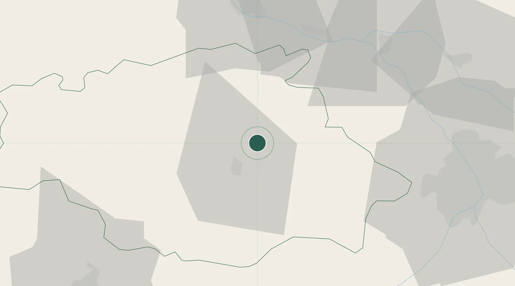
Nearby Logistics Neighbours

Cities
  1. 1Roquelaure8 km
  2. 2Auch11 km
  3. 3Bajonnette12 km
  4. 4Réjaumont13 km
  5. 5Mauvezin17 km
Nearest neighbours — logibook spatial index (haversine) over the source coordinates
Ports
  1. 1Bordeaux160 km
  2. 2Ambes172 km
  3. 3Bayonne174 km
  4. 4Blaye188 km
  5. 5Pauillac198 km
Nearest neighbours — logibook spatial index (haversine) over the source coordinates
Airports
  1. 1Auch Gers Airfield8 km
  2. 2Agen La Garenne airport49 km
  3. 3Toulouse-Blagnac Airport57 km
  4. 4Toulouse-Francazal (BA 101) Air Base60 km
  5. 5Tarbes-Lourdes-Pyrénées Airport82 km
Nearest neighbours — logibook spatial index (haversine) over the source coordinates
Trade Zones
  1. 1ZFU Toulouse64 km
  2. 2ZFU Hauts de Garonne157 km
  3. 3Port de Bordeaux162 km
  4. 4ZFU Béziers210 km
  5. 5Depósito Franco de Pasajes (Guipúzcoa)214 km
Nearest neighbours — logibook spatial index (haversine) over the source coordinates
DatabookThe Record of Consolidated Knowledge
France beyond logistics?
Browse databook

All Sources

LocationsUN/LOCODE
UN/LOCODE — free
LocationsGeoNames
CC BY 4.0
Portsthe NGA World Port Index
Public domain (US gov)
AirportsOurAirports
Public domain
Trade Zonesthe World Bank SEZ database
CC BY 4.0
Trade ZonesOpen Zone Map
CC BY
← France locations