Transport Functions
Multimodal
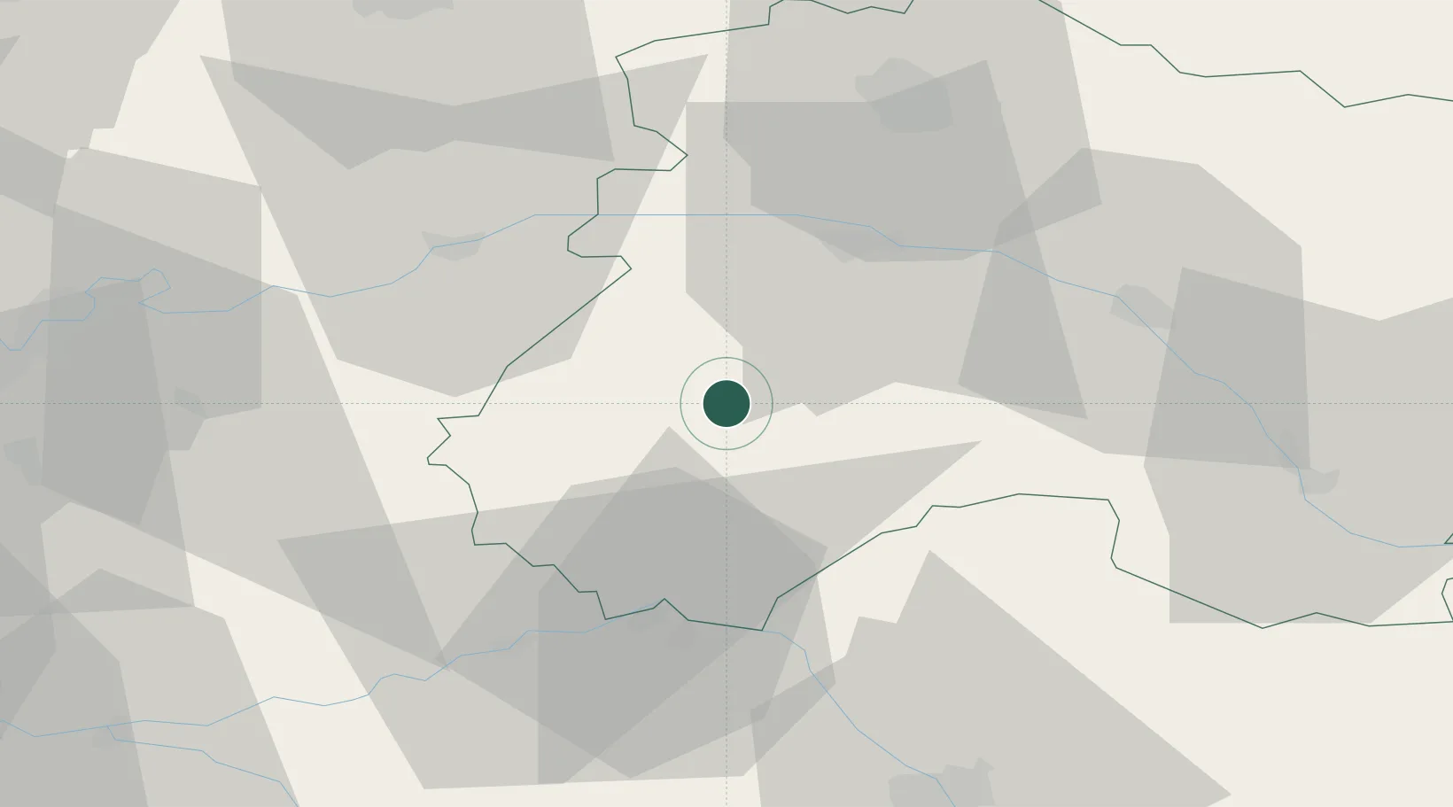
Hub Profile
Place type
Populated place
Region
Grand Est
Population
222
Time zone
Europe/Paris
Elevation
144 m
Location
Nearby Logistics Neighbours
Cities
- 1Talus-Saint-Prix4 km
- 2Congy4 km
- 3Fèrebrianges5 km
- 4Étoges7 km
- 5Vert-Toulon7 km
Ports
- 1Port Of Rouen210 km
- 2Saint-Valery-Sur-Somme218 km
- 3Le Treport223 km
- 4Bruxelles230 km
- 5Dieppe232 km
Airports
Trade Zones
DatabookThe Record of Consolidated Knowledge
France beyond logistics?