Transport Functions
Multimodal
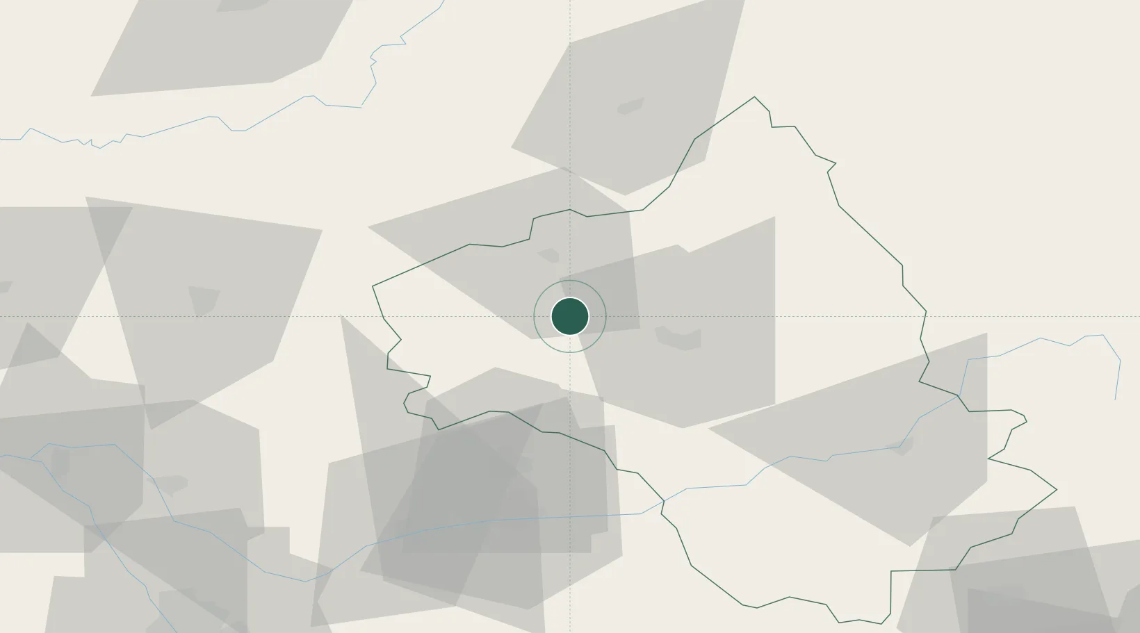
Hub Profile
Place type
Populated place
Region
Occitanie
Population
1,918
Time zone
Europe/Paris
Elevation
501 m
Location
Nearby Logistics Neighbours
Cities
- 1Goutrens7 km
- 2Clairvaux-d'Aveyron9 km
- 3Cransac11 km
- 4Valady11 km
- 5Prayssac19 km
Ports
- 1Sete159 km
- 2Port-La-Nouvelle167 km
- 3Port-Vendres221 km
- 4Port Saint Louis Du Rhone232 km
- 5Bordeaux232 km
Airports
- 1Rodez–Aveyron Airport15 km
- 2Aurillac airport54 km
- 3Albi Le Sequestre airport58 km
- 4Cahors Lalbenque airport66 km
- 5Brive Souillac airport95 km
Trade Zones
- 1ZFU Toulouse113 km
- 2ZFU Béziers141 km
- 3ZFU Montpellier153 km
- 4ZFU Clermont-Ferrand164 km
- 5ZFU Nîmes176 km
DatabookThe Record of Consolidated Knowledge
France beyond logistics?