Transport Functions
Port
Road
Multimodal
Hub Profile
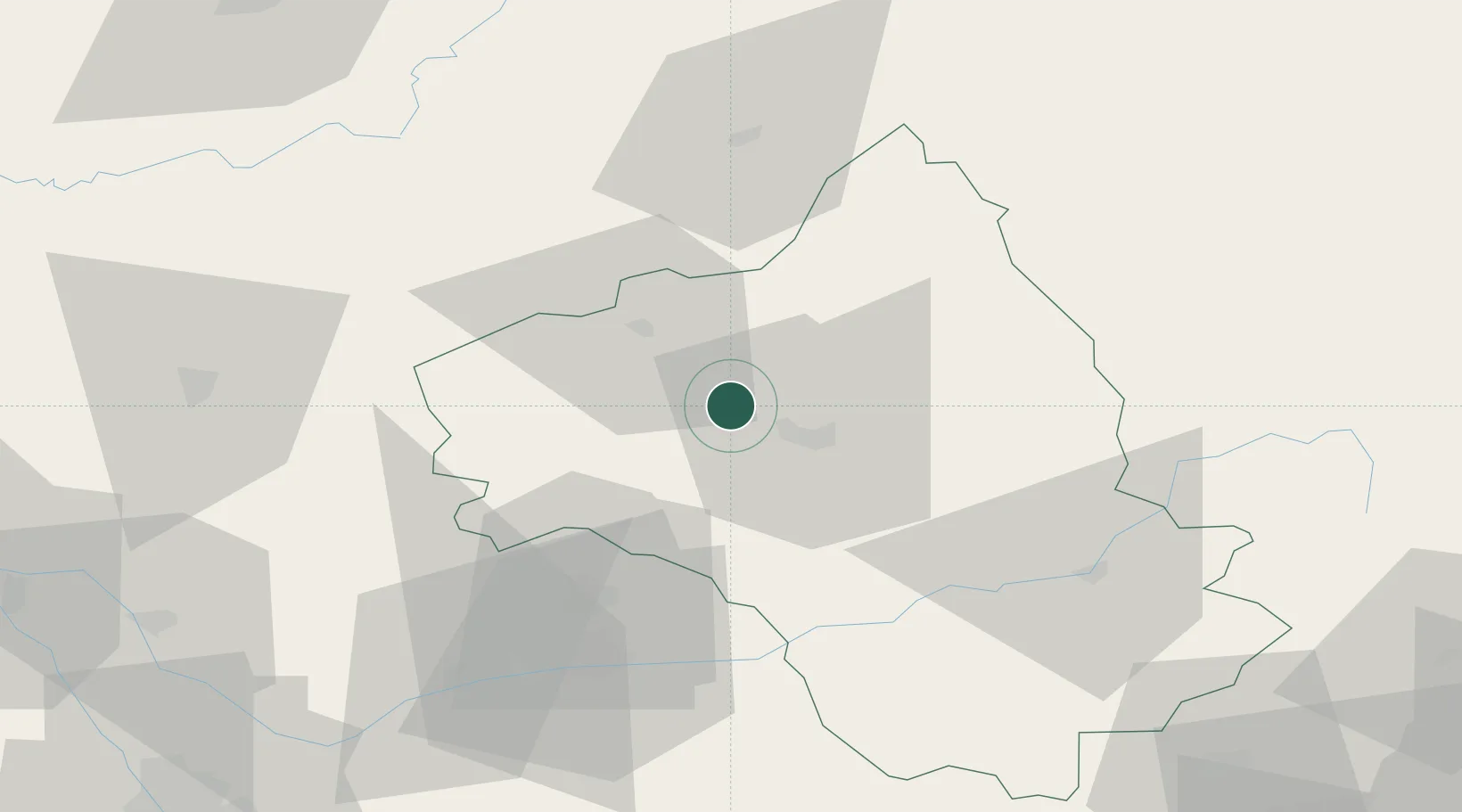
Place type
Populated place
Region
Occitanie
Time zone
Europe/Paris
Elevation
342 m
Location
Nearby Logistics Neighbours
Ports
- 1Sete153 km
- 2Port-La-Nouvelle164 km
- 3Port-Vendres219 km
- 4Port Saint Louis Du Rhone224 km
- 5Fos227 km
Airports
- 1Rodez–Aveyron Airport5 km
- 2Aurillac airport53 km
- 3Albi Le Sequestre airport61 km
- 4Cahors Lalbenque airport75 km
- 5Mende-Brenoux Airfield89 km
Trade Zones
- 1ZFU Toulouse119 km
- 2ZFU Béziers136 km
- 3ZFU Montpellier146 km
- 4ZFU Clermont-Ferrand161 km
- 5ZFU Nîmes168 km
DatabookThe Record of Consolidated Knowledge
France beyond logistics?