Transport Functions
Rail
Road
Hub Profile
Place type
Populated place
Region
Rhône-Alpes
Time zone
Europe/Paris
Elevation
992 m
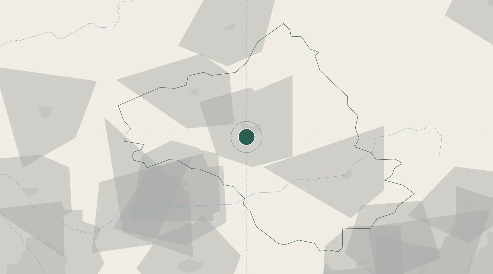
Location
Nearby Logistics Neighbours
Cities
- 1Rodez5 km
- 2Clairvaux-d'Aveyron15 km
- 3Valady17 km
- 4La Fouillade19 km
- 5Goutrens20 km
Ports
- 1Sete138 km
- 2Port-La-Nouvelle151 km
- 3Port-Vendres206 km
- 4Port Saint Louis Du Rhone211 km
- 5Fos213 km
Airports
- 1Rodez–Aveyron Airport11 km
- 2Albi Le Sequestre airport56 km
- 3Aurillac airport65 km
- 4Mende-Brenoux Airfield82 km
- 5Cahors Lalbenque airport84 km
Trade Zones
- 1ZFU Toulouse118 km
- 2ZFU Béziers122 km
- 3ZFU Montpellier132 km
- 4ZFU Nîmes155 km
- 5ZFU Clermont-Ferrand169 km
DatabookThe Record of Consolidated Knowledge
France beyond logistics?