Transport Functions
Multimodal
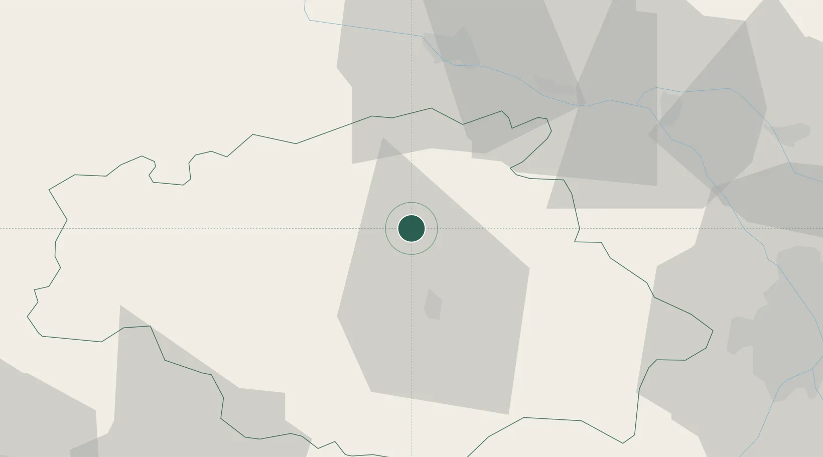
Hub Profile
Place type
Populated place
Region
Occitanie
Population
185
Time zone
Europe/Paris
Elevation
171 m
Location
Nearby Logistics Neighbours
Cities
- 1Castéra-Verduzan9 km
- 2Roquelaure11 km
- 3Mirepoix13 km
- 4Valence-sur-Baïse15 km
- 5Auch19 km
Airports
Trade Zones
- 1ZFU Toulouse76 km
- 2ZFU Hauts de Garonne144 km
- 3Port de Bordeaux149 km
- 4Depósito Franco de Pasajes (Guipúzcoa)207 km
- 5ZFU Béziers221 km
DatabookThe Record of Consolidated Knowledge
France beyond logistics?