UN/LOCODE hub · France
FRVS5
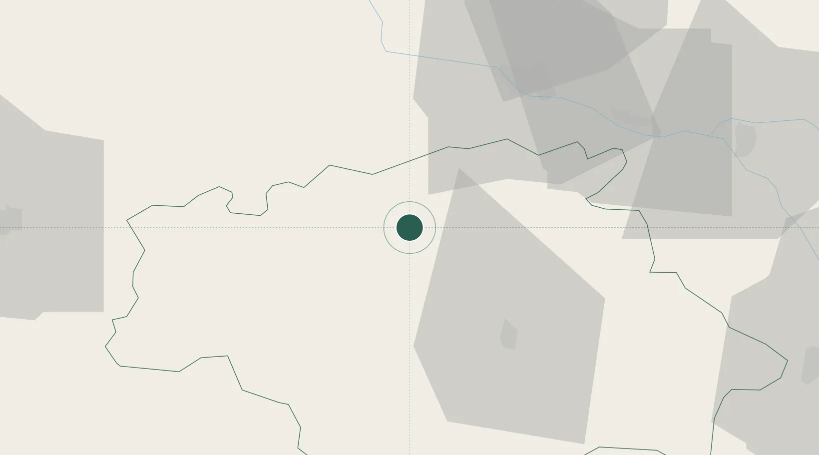
Valence-sur-Baïse
43.8833°, 0.3833°
1,196
Population
1
Transport functions
Transport Functions
Multimodal
Hub Profile
Place type
Populated place
Region
Occitanie
Population
1,196
Time zone
Europe/Paris
Elevation
119 m
Location
Nearby Logistics Neighbours
Cities
- 1Cassaigne6 km
- 2Castéra-Verduzan8 km
- 3Gondrin11 km
- 4Courrensan11 km
- 5Larroque-sur-l'Osse13 km
Airports
Trade Zones
- 1ZFU Toulouse91 km
- 2ZFU Hauts de Garonne130 km
- 3Port de Bordeaux136 km
- 4Depósito Franco de Pasajes (Guipúzcoa)196 km
- 5ZFU Béziers236 km
DatabookThe Record of Consolidated Knowledge
France beyond logistics?