Transport Functions
Road
Multimodal
Hub Profile
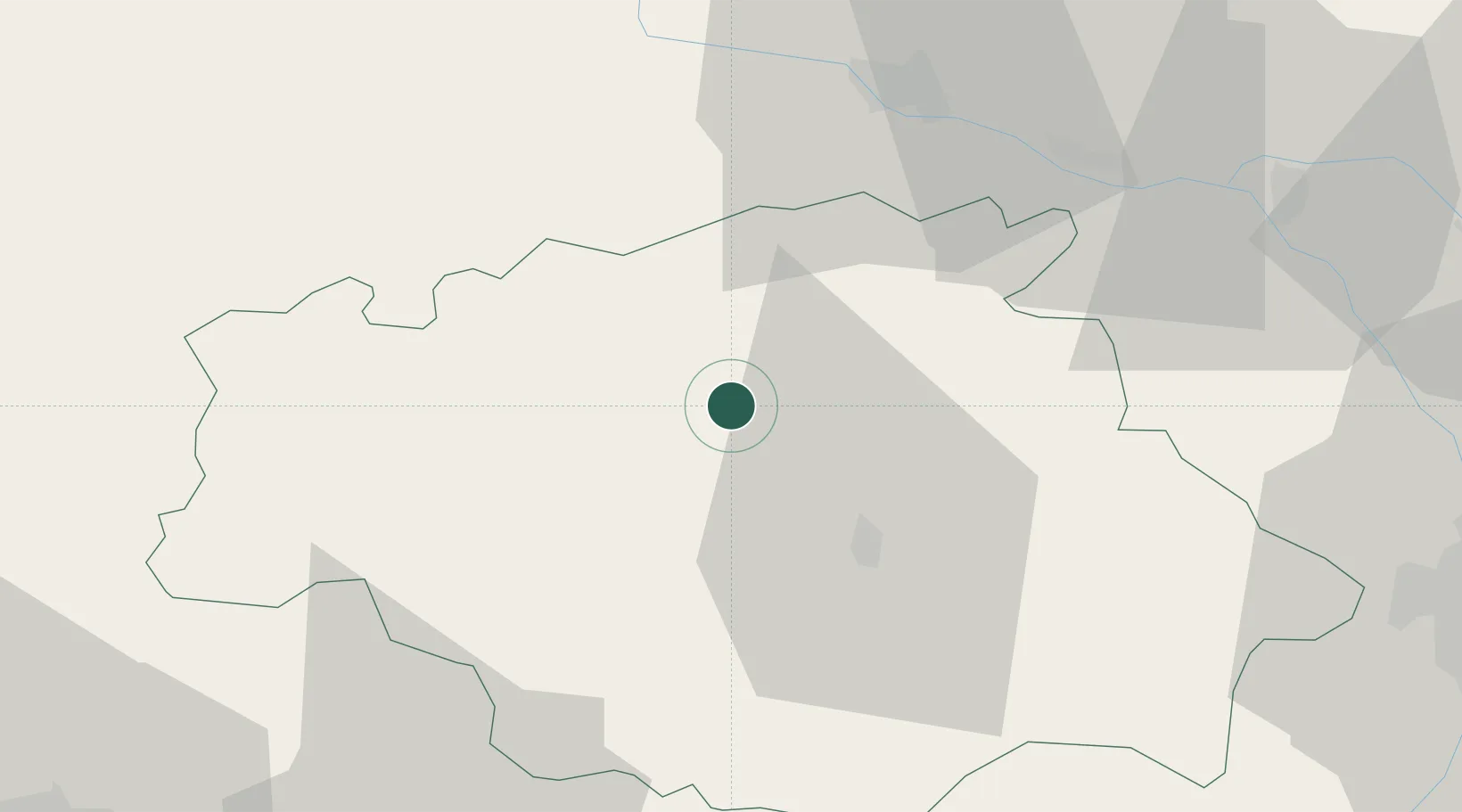
Place type
Populated place
Region
Occitanie
Population
864
Time zone
Europe/Paris
Elevation
110 m
Location
Nearby Logistics Neighbours
Cities
- 1Valence-sur-Baïse8 km
- 2Réjaumont9 km
- 3Cassaigne13 km
- 4Courrensan15 km
- 5Roquelaure15 km
Airports
Trade Zones
- 1ZFU Toulouse84 km
- 2ZFU Hauts de Garonne138 km
- 3Port de Bordeaux144 km
- 4Depósito Franco de Pasajes (Guipúzcoa)198 km
- 5ZFU Béziers230 km
DatabookThe Record of Consolidated Knowledge
France beyond logistics?