Seaport · Spain
TarragonaESTAR
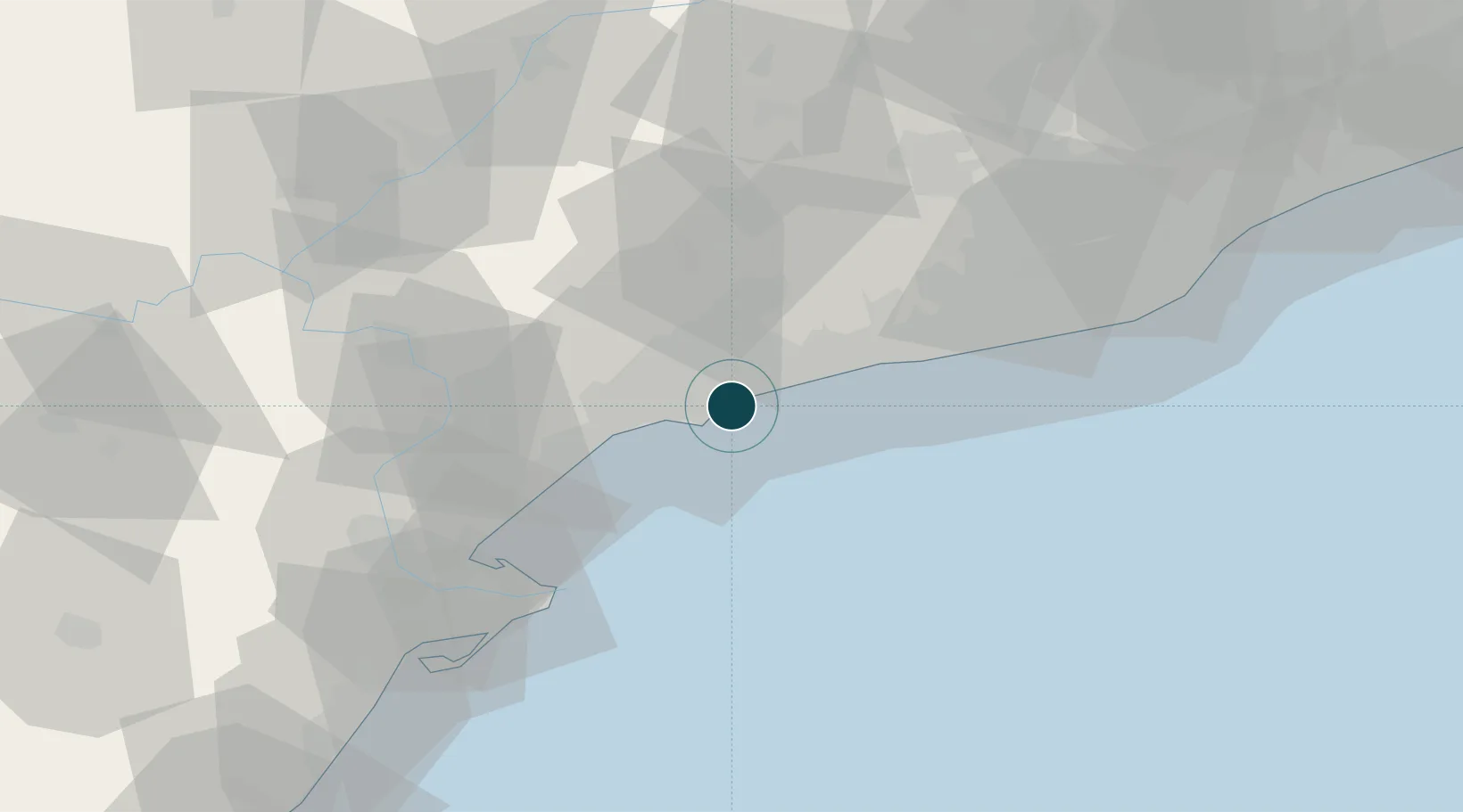
41.1000°, 1.2333°
20.1 m
Channel depth
2
Container terminals
11.3
Port liner connectivity
Channel & Berth Profile
Pilotage, Tugs & Services
Pilotage compulsoryYES
Pilotage availableYES
Tug assistanceYES
Shore powerYES
Potable waterYES
Diesel bunkersYES
MedicalYES
Garbage disposalYES
Facilities & Capabilities
Container—
Ro-Ro—
Liquid bulk—
Dry bulk—
Oil terminal—
Break bulk—
Dry dock—
RepairsNO
BunkeringYES
Rail linkYES
Dangerous cargo—
ISPS security—
Harbour Specifications
Harbour size
Large
Harbour type
Coastal (Breakwater)
Shelter
Fair
Water body
Balearic Sea; Mediterranean Sea; North Atlantic Ocean
Tidal range
1 m
Pilotage
Yes
Liner Connectivity
11.3
PLSCI
Port Liner Shipping Connectivity Index for Tarragona, as published by UNCTAD for the latest available quarter. Higher values indicate stronger scheduled liner-shipping integration.
Shown relative to the highest per-port PLSCI in the dataset (1,657.9).
Location
Container Terminals · 2
DP WORLD TARRAGONA
DPWTA DP WORLD TARRAGONA, S.A.
FRUPORT TARRAGONA
FRUPO FRUPORT TARRAGONA S.L.
Nearby Logistics Neighbours
Ports
- 1Villanueva Y Geltru44 km
- 2Barcelona83 km
- 3El Grao163 km
- 4San Feliu De Guixols168 km
- 5Burriana173 km
Cities
- 1La Canonja5 km
- 2Salou9 km
- 3La Selva del Camp14 km
- 4Cambrils15 km
- 5Castellvell del Camp15 km
Airports
Trade Zones
- 1Depósito Franco de Tarragona2 km
- 2Zona Franca de Barcelona79 km
- 3Depósito Franco de Zaragoza178 km
- 4ZFU Perpignan225 km
- 5Depósito Franco de Valencia226 km
DatabookThe Record of Consolidated Knowledge
Spain beyond logistics?