Transport Functions
Multimodal
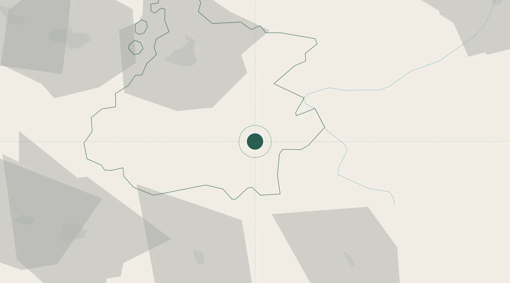
Hub Profile
Place type
Populated place
Region
Occitanie
Population
866
Time zone
Europe/Paris
Elevation
711 m
Location
Nearby Logistics Neighbours
Cities
- 1Sarrancolin7 km
- 2Lies22 km
- 3Fronsac24 km
- 4Bagnères-de-Bigorre26 km
- 5Villeneuve-de-Rivière36 km
Ports
- 1Bayonne163 km
- 2Puerto De Pasajes193 km
- 3Tarragona213 km
- 4Villanueva Y Geltru217 km
- 5Port-La-Nouvelle220 km
Airports
Trade Zones
- 1ZFU Toulouse117 km
- 2Depósito Franco de Zaragoza168 km
- 3Depósito Franco de Pasajes (Guipúzcoa)192 km
- 4ZFU Perpignan207 km
- 5Depósito Franco de Tarragona211 km
DatabookThe Record of Consolidated Knowledge
France beyond logistics?