Transport Functions
Rail
Road
Hub Profile
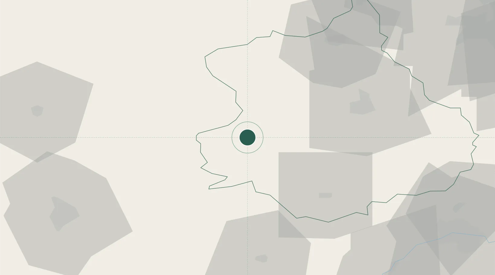
Place type
Populated place
Region
Centre-Val de Loire
Population
1,157
Time zone
Europe/Paris
Elevation
245 m
Location
Nearby Logistics Neighbours
Cities
- 1Luigny10 km
- 2La Rouge21 km
- 3Courville-sur-Eure22 km
- 4Le Theil-sur-Huisne23 km
- 5L'Aiguillon-la-Rouge23 km
Ports
- 1Port Of Rouen126 km
- 2Deauville135 km
- 3Honfleur135 km
- 4Port De Caen138 km
- 5Ouistreham141 km
Airports
Trade Zones
- 1ZFU Dreux et Sainte-Gemme-Moronval56 km
- 2ZFU Alençon69 km
- 3ZFU Le Mans75 km
- 4ZFU Évreux80 km
- 5ZFU Orléans80 km
DatabookThe Record of Consolidated Knowledge
France beyond logistics?