UN/LOCODE hub · France
FRCVU
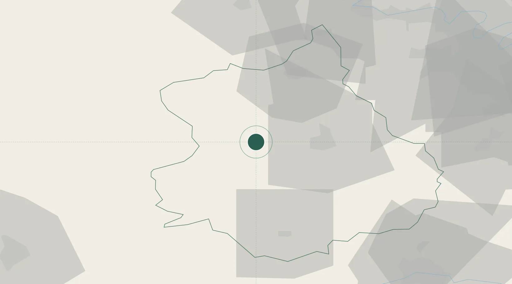
Courville-sur-Eure
48.4500°, 1.2167°
2,820
Population
2
Transport functions
Transport Functions
Rail
Road
Hub Profile
Place type
Populated place
Region
Centre-Val de Loire
Population
2,820
Time zone
Europe/Paris
Elevation
175 m
Location
Nearby Logistics Neighbours
Cities
- 1La Grande Motte19 km
- 2Chartres20 km
- 3Tremblay-les-Villages20 km
- 4Le Coudray20 km
- 5L'Oserie22 km
Ports
- 1Port Of Rouen112 km
- 2Honfleur130 km
- 3Deauville131 km
- 4Port Of Le Havre140 km
- 5Port De Caen141 km
Airports
Trade Zones
- 1ZFU Dreux et Sainte-Gemme-Moronval35 km
- 2ZFU Évreux64 km
- 3ZFU Trappes68 km
- 4ZFU Mantes-la-Jolie70 km
- 5ZFU Les Mureaux78 km
DatabookThe Record of Consolidated Knowledge
France beyond logistics?