Transport Functions
Rail
Road
Hub Profile
Place type
Populated place
Region
Centre-Val de Loire
Population
2,385
Time zone
Europe/Paris
Elevation
121 m
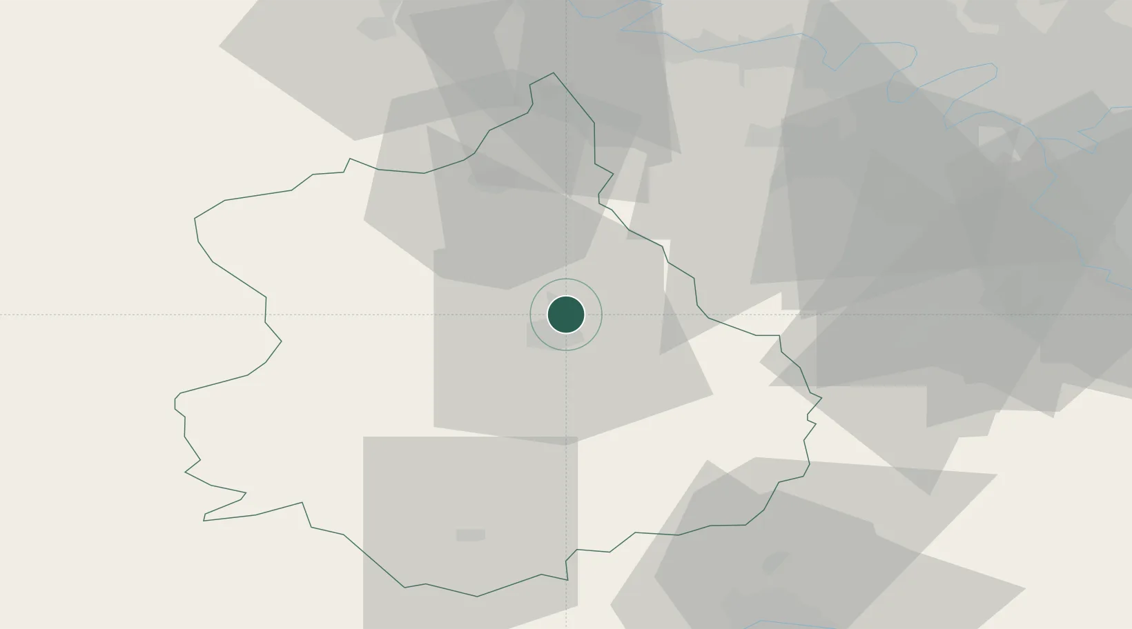
Location
Nearby Logistics Neighbours
Cities
- 1Gasville-Oisème4 km
- 2Chartres4 km
- 3Nogent-le-Phaye7 km
- 4Saint-Piat7 km
- 5Le Coudray8 km
Ports
- 1Port Of Rouen112 km
- 2Honfleur141 km
- 3Deauville144 km
- 4Port Of Le Havre151 km
- 5Ouistreham157 km
Airports
Trade Zones
- 1ZFU Dreux et Sainte-Gemme-Moronval31 km
- 2ZFU Trappes48 km
- 3ZFU Mantes-la-Jolie58 km
- 4ZFU Les Mureaux63 km
- 5ZFU Évreux66 km
DatabookThe Record of Consolidated Knowledge
France beyond logistics?