UN/LOCODE hub · France
FRNRH

Penmarc'H Point

47.8000°, -4.3667°
1
Transport functions

Transport Functions

Port
UN/LOCODE

Hub Profile

Region
29
GeoNames

Location

Location of FRNRH
Natural Earth 10m (public domain) · 29 · FRNRH · 47.80, -4.37GoogleOSMYandex

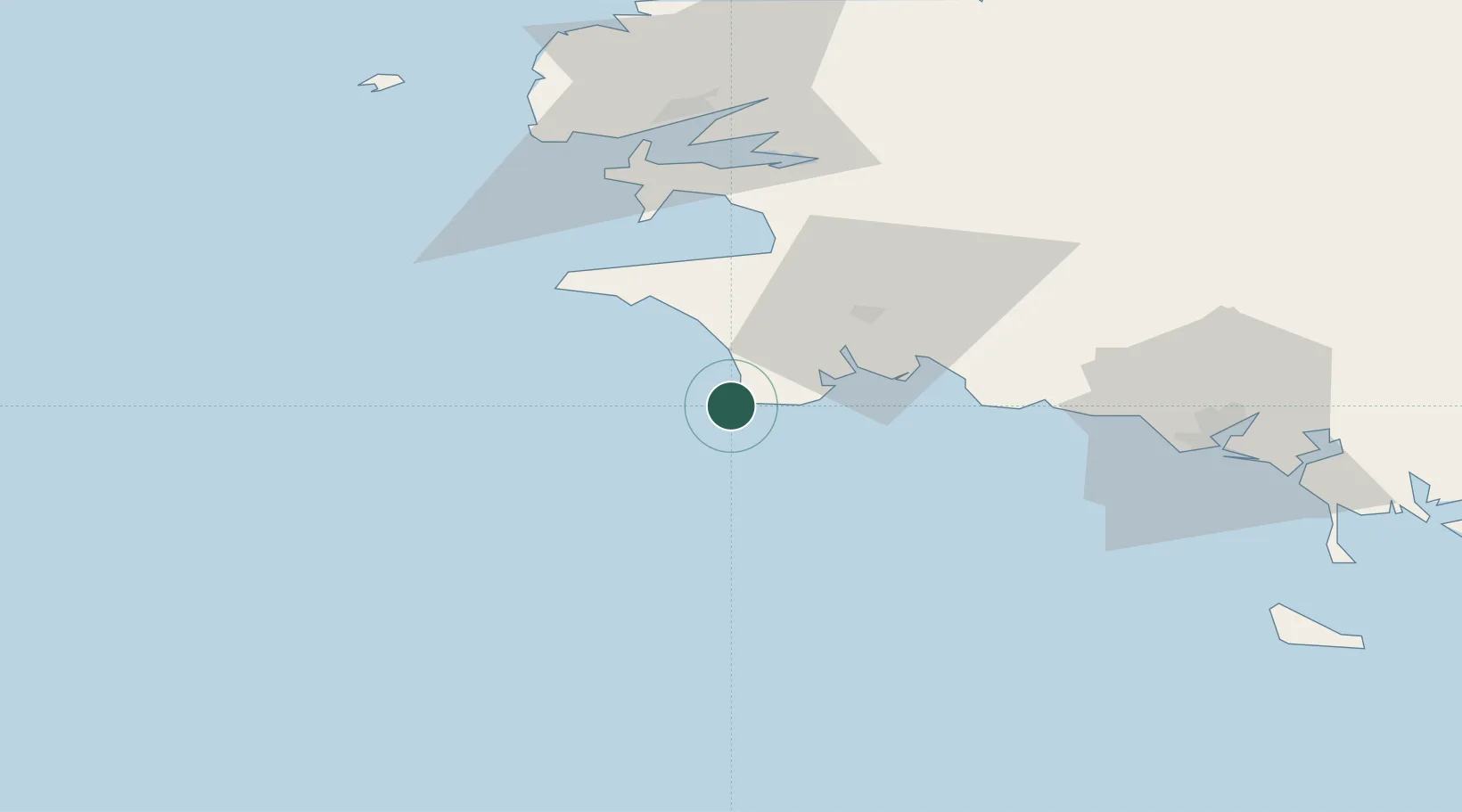
Nearby Logistics Neighbours

Cities
  1. 1Guilvinec6 km
  2. 2Plomeur7 km
  3. 3Lesconil11 km
  4. 4Plovan13 km
  5. 5Pont-l'Abbé13 km
Nearest neighbours — logibook spatial index (haversine) over the source coordinates
Ports
  1. 1Concarneau34 km
  2. 2Rade De Brest66 km
  3. 3Lorient76 km
  4. 4Morlaix96 km
  5. 5Port De Roscoff-Bloscon108 km
Nearest neighbours — logibook spatial index (haversine) over the source coordinates
Airports
  1. 1Quimper-Cornouaille Airport24 km
  2. 2Lanvéoc-Poulmic Air Base54 km
  3. 3Lorient South Brittany (Bretagne Sud) Airport69 km
  4. 4Brest Bretagne airport72 km
  5. 5Landivisiau Air Base83 km
Nearest neighbours — logibook spatial index (haversine) over the source coordinates
Trade Zones
  1. 1ZFU Saint-Nazaire168 km
  2. 2ZFU Nantes et Saint-Herblain210 km
  3. 3ZFU Angers285 km
  4. 4ZFU Cherbourg-Octeville285 km
  5. 5Oceansgate Plymouth286 km
Nearest neighbours — logibook spatial index (haversine) over the source coordinates
DatabookThe Record of Consolidated Knowledge
France beyond logistics?
Browse databook

All Sources

LocationsUN/LOCODE
UN/LOCODE — free
Portsthe NGA World Port Index
Public domain (US gov)
AirportsOurAirports
Public domain
Trade Zonesthe World Bank SEZ database
CC BY 4.0
Trade ZonesOpen Zone Map
CC BY
← France locations