Transport Functions
Multimodal
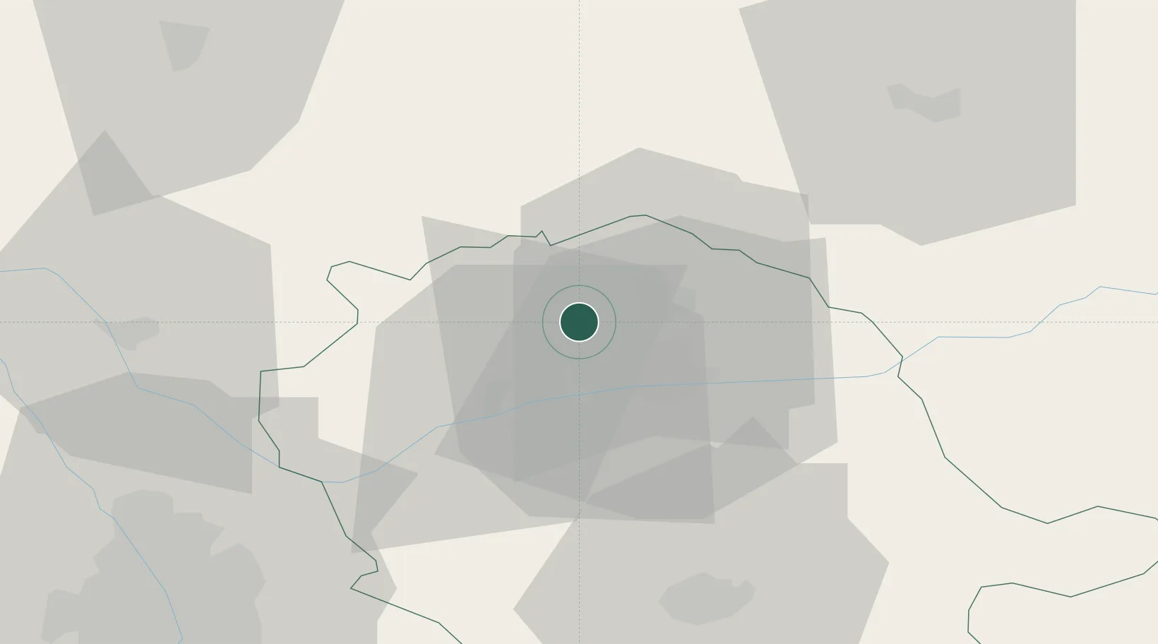
Hub Profile
Place type
Populated place
Region
Occitanie
Population
101
Time zone
Europe/Paris
Elevation
280 m
Location
Nearby Logistics Neighbours
Cities
- 1Villeneuve-sur-Vère4 km
- 2Castanet6 km
- 3Fayssac11 km
- 4Andillac11 km
- 5Vieux13 km
Ports
- 1Port-La-Nouvelle140 km
- 2Sete151 km
- 3Port-Vendres190 km
- 4Rosas218 km
- 5Bordeaux226 km
Airports
- 1Albi Le Sequestre airport15 km
- 2Rodez–Aveyron Airport55 km
- 3Cahors Lalbenque airport57 km
- 4Castres Mazamet Airport57 km
- 5Toulouse-Blagnac Airport70 km
Trade Zones
- 1ZFU Toulouse67 km
- 2ZFU Béziers123 km
- 3ZFU Montpellier153 km
- 4ZFU Perpignan164 km
- 5ZFU Nîmes187 km
DatabookThe Record of Consolidated Knowledge
France beyond logistics?