Transport Functions
Port
Multimodal
Hub Profile
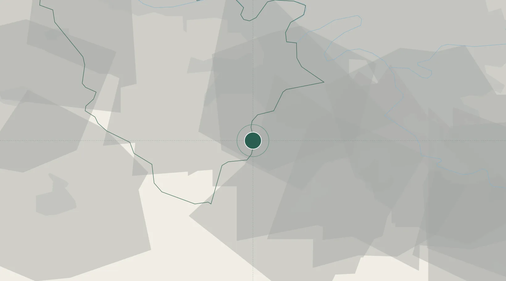
Place type
Populated place
Region
Île-de-France
Population
2,064
Time zone
Europe/Paris
Elevation
121 m
Location
Nearby Logistics Neighbours
Cities
- 1Saint-Cyr-sous-Dourdan6 km
- 2Les Molières6 km
- 3Saint-Rémy-lès-Chevreuse10 km
- 4Gif-sur-Yvette12 km
- 5Bruyères-le-Châtel12 km
Ports
- 1Port Of Rouen116 km
- 2Honfleur160 km
- 3Dieppe162 km
- 4Deauville165 km
- 5Le Treport168 km
Airports
Trade Zones
- 1ZFU Trappes18 km
- 2ZFU Grigny Viry-Châtillon26 km
- 3ZFU Corbeil-Evry29 km
- 4ZFU Vitry-sur-Seine32 km
- 5ZFU Choisy-le-Roi et Orly32 km
DatabookThe Record of Consolidated Knowledge
France beyond logistics?