UN/LOCODE hub · France
FRNBB

Nibas

50.1000°, 1.5833°
770
Population
1
Transport functions

Transport Functions

Multimodal
UN/LOCODE

Hub Profile

Place type
Populated place
GeoNames
Region
Hauts-de-France
GeoNames
Population
770
GeoNames
Time zone
Europe/Paris
GeoNames
Elevation
49 m
GeoNames

Location

Location of FRNBB
Natural Earth 10m (public domain) · Hauts-de-France · FRNBB · 50.10, 1.58GoogleOSMYandex

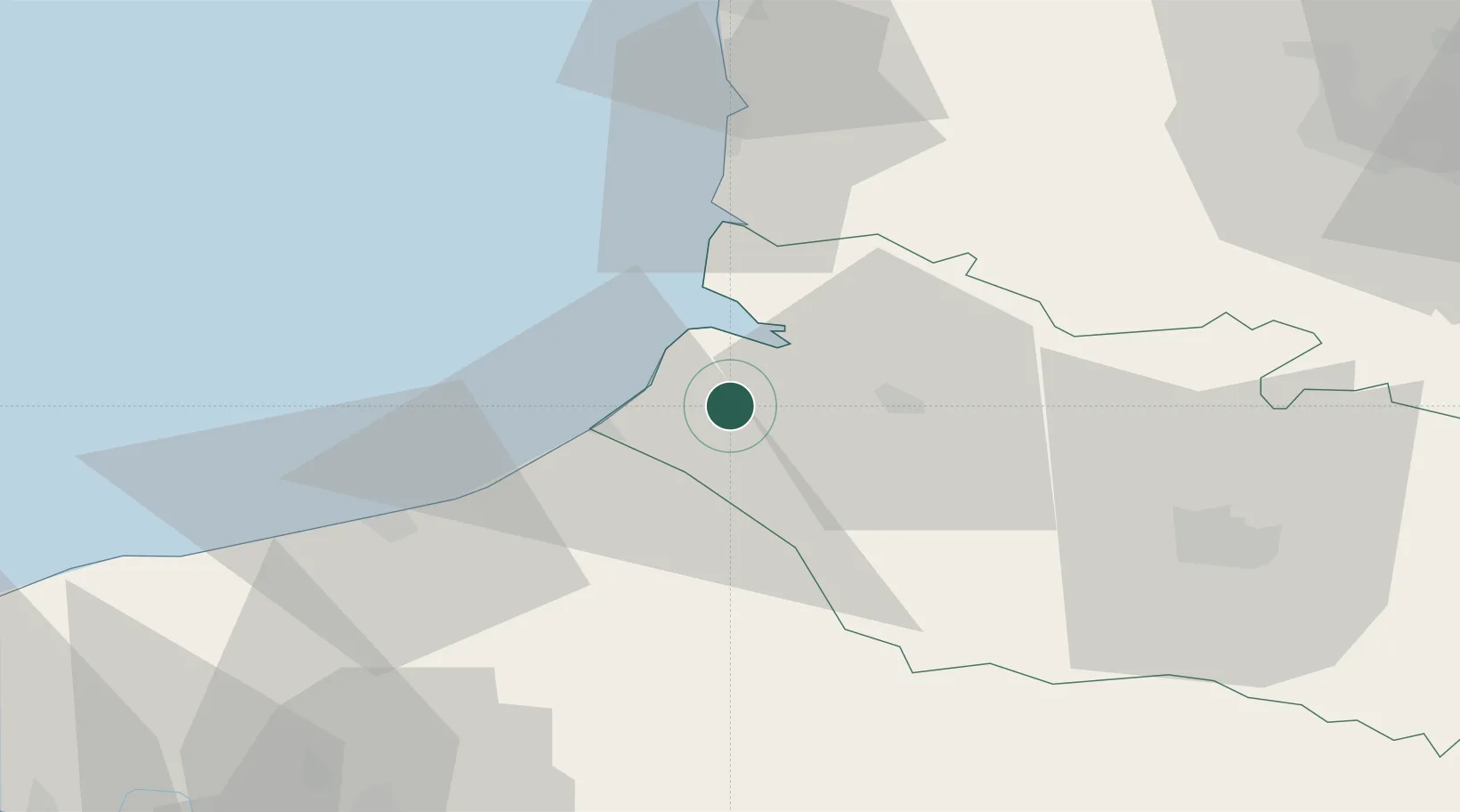
Nearby Logistics Neighbours

Cities
  1. 1Friville-Escarbotin3 km
  2. 2Saint-Valery-sur-Somme10 km
  3. 3Saint-Quentin-la-Motte-Croix-au-Bailly10 km
  4. 4Beauchamps11 km
  5. 5Noyelles12 km
Nearest neighbours — logibook spatial index (haversine) over the source coordinates
Ports
  1. 1Saint-Valery-Sur-Somme10 km
  2. 2Le Treport16 km
  3. 3Dieppe40 km
  4. 4Boulogne-Sur-Mer70 km
  5. 5Port Of Rouen81 km
Nearest neighbours — logibook spatial index (haversine) over the source coordinates
Airports
  1. 1Abbeville-Buigny Baie de Somme Airfield18 km
  2. 2Le Touquet-Côte d'Opale Airport47 km
  3. 3Amiens Glisy Airfield63 km
  4. 4Beauvais-Tillé airport81 km
  5. 5Rouen Vallée de Seine Airport85 km
Nearest neighbours — logibook spatial index (haversine) over the source coordinates
Trade Zones
  1. 1ZFU Amiens46 km
  2. 2ZFU Rouen Bihorel79 km
  3. 3ZFU Beauvais80 km
  4. 4ZFU Calais96 km
  5. 5ZFU Hénin-Beaumont, Montigny-en-Gohelle, Courrières, Rouvroy, Drocourt, Dourges99 km
Nearest neighbours — logibook spatial index (haversine) over the source coordinates
DatabookThe Record of Consolidated Knowledge
France beyond logistics?
Browse databook

All Sources

LocationsUN/LOCODE
UN/LOCODE — free
LocationsGeoNames
CC BY 4.0
Portsthe NGA World Port Index
Public domain (US gov)
AirportsOurAirports
Public domain
Trade Zonesthe World Bank SEZ database
CC BY 4.0
Trade ZonesOpen Zone Map
CC BY
← France locations