UN/LOCODE hub · France
FRSVS
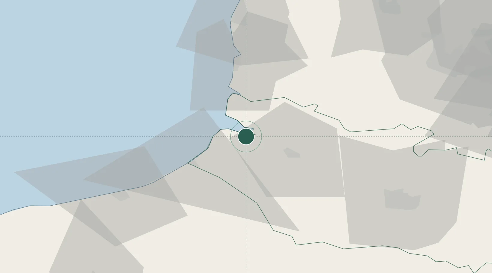
Saint-Valery-sur-Somme
50.1833°, 1.6333°
2,754
Population
3
Transport functions
Transport Functions
Port
Rail
Road
Hub Profile
Place type
Populated place
Region
Hauts-de-France
Population
2,754
Time zone
Europe/Paris
Elevation
33 m
Location
Nearby Logistics Neighbours
Cities
- 1Le Crotoy4 km
- 2Noyelles5 km
- 3Nibas10 km
- 4Friville-Escarbotin13 km
- 5Quend16 km
Ports
- 1Le Treport23 km
- 2Dieppe48 km
- 3Boulogne-Sur-Mer61 km
- 4Calais88 km
- 5Port Of Rouen91 km
Airports
Trade Zones
DatabookThe Record of Consolidated Knowledge
France beyond logistics?