Transport Functions
Rail
Road
Hub Profile
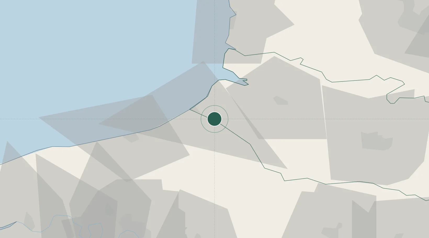
Place type
Populated place
Region
Hauts-de-France
Population
1,020
Time zone
Europe/Paris
Elevation
21 m
Location
Nearby Logistics Neighbours
Cities
- 1Saint-Quentin-la-Motte-Croix-au-Bailly7 km
- 2Eu7 km
- 3Friville-Escarbotin8 km
- 4Étalondes9 km
- 5Flocques11 km
Ports
- 1Le Treport11 km
- 2Saint-Valery-Sur-Somme20 km
- 3Dieppe31 km
- 4Port Of Rouen70 km
- 5Boulogne-Sur-Mer80 km
Airports
Trade Zones
- 1ZFU Amiens47 km
- 2ZFU Rouen Bihorel68 km
- 3ZFU Beauvais75 km
- 4ZFU Creil et Montataire107 km
- 5ZFU Calais107 km
DatabookThe Record of Consolidated Knowledge
France beyond logistics?