UN/LOCODE hub · France
FRQLC

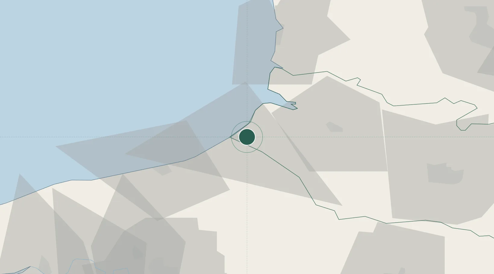
Saint-Quentin-la-Motte-Croix-au-Bailly

50.0667°, 1.4500°
3
Transport functions

Transport Functions

Port
Road
Multimodal
UN/LOCODE

Hub Profile

Place type
Populated place
GeoNames
Region
Hauts-de-France
GeoNames
Time zone
Europe/Paris
GeoNames
Elevation
89 m
GeoNames

Location

Location of FRQLC
Natural Earth 10m (public domain) · Hauts-de-France · FRQLC · 50.07, 1.45GoogleOSMYandex

Nearby Logistics Neighbours

Cities
  1. 1Eu3 km
  2. 2Le Tréport6 km
  3. 3Étalondes6 km
  4. 4Beauchamps7 km
  5. 5Friville-Escarbotin7 km
Nearest neighbours — logibook spatial index (haversine) over the source coordinates
Ports
  1. 1Le Treport6 km
  2. 2Saint-Valery-Sur-Somme18 km
  3. 3Dieppe30 km
  4. 4Port Of Rouen74 km
  5. 5Boulogne-Sur-Mer75 km
Nearest neighbours — logibook spatial index (haversine) over the source coordinates
Airports
  1. 1Abbeville-Buigny Baie de Somme Airfield29 km
  2. 2Le Touquet-Côte d'Opale Airport52 km
  3. 3Amiens Glisy Airfield70 km
  4. 4Rouen Vallée de Seine Airport78 km
  5. 5Beauvais-Tillé airport83 km
Nearest neighbours — logibook spatial index (haversine) over the source coordinates
Trade Zones
  1. 1ZFU Amiens53 km
  2. 2ZFU Rouen Bihorel72 km
  3. 3ZFU Beauvais82 km
  4. 4ZFU Calais102 km
  5. 5ZFU Hénin-Beaumont, Montigny-en-Gohelle, Courrières, Rouvroy, Drocourt, Dourges110 km
Nearest neighbours — logibook spatial index (haversine) over the source coordinates
DatabookThe Record of Consolidated Knowledge
France beyond logistics?
Browse databook

All Sources

LocationsUN/LOCODE
UN/LOCODE — free
Portsthe NGA World Port Index
Public domain (US gov)
AirportsOurAirports
Public domain
Trade Zonesthe World Bank SEZ database
CC BY 4.0
Trade ZonesOpen Zone Map
CC BY
← France locations