UN/LOCODE hub · France
FRZCV
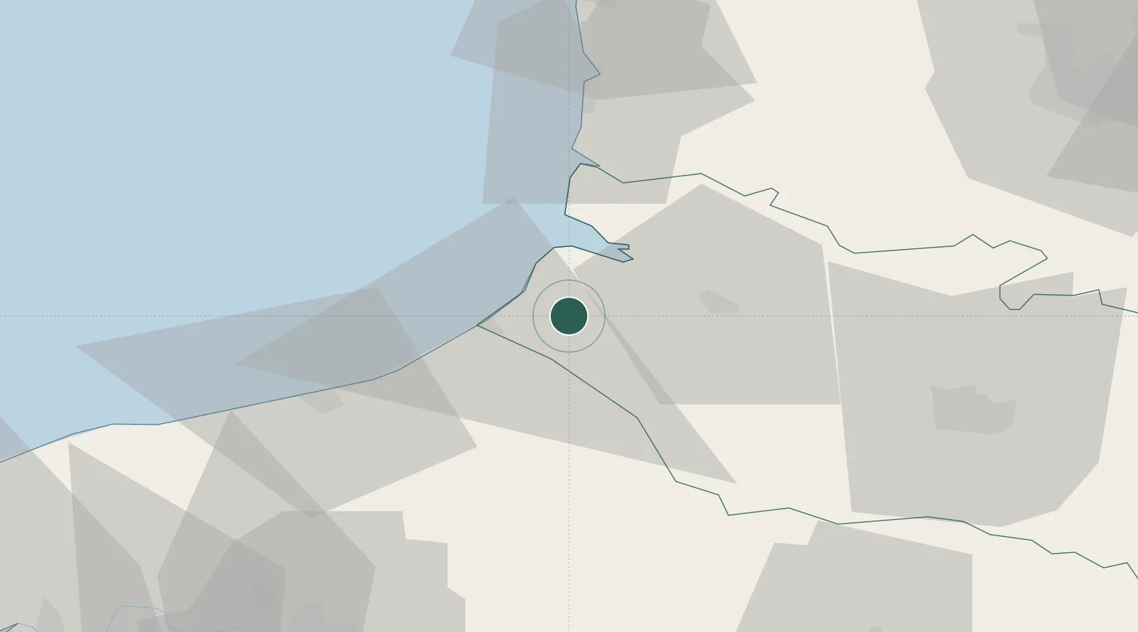
Friville-Escarbotin
50.0833°, 1.5500°
4,852
Population
1
Transport functions
Transport Functions
Multimodal
Hub Profile
Place type
Populated place
Region
Hauts-de-France
Population
4,852
Time zone
Europe/Paris
Elevation
81 m
Location
Nearby Logistics Neighbours
Cities
- 1Nibas3 km
- 2Saint-Quentin-la-Motte-Croix-au-Bailly7 km
- 3Beauchamps8 km
- 4Eu10 km
- 5Saint-Valery-sur-Somme13 km
Ports
- 1Saint-Valery-Sur-Somme12 km
- 2Le Treport13 km
- 3Dieppe37 km
- 4Boulogne-Sur-Mer72 km
- 5Port Of Rouen79 km
Airports
Trade Zones
DatabookThe Record of Consolidated Knowledge
France beyond logistics?