UN/LOCODE hub · France
FRRNS

Rennes

48.1066°, -1.6643°
227,830
Population
4
Transport functions

Transport Functions

Rail
Road
Airport
Postal
UN/LOCODE

Hub Profile

Place type
Regional capital
GeoNames
Region
Brittany
GeoNames
Population
227,830
GeoNames
Time zone
Europe/Paris
GeoNames
Elevation
39 m
GeoNames
Logistics facilities
7
UN/LOCODE

Location

Location of FRRNS
Natural Earth 10m (public domain) · Brittany · FRRNS · 48.11, -1.66GoogleOSMYandex

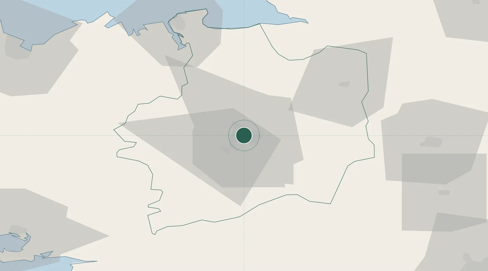
Nearby Logistics Neighbours

Cities
  1. 1Chantepie4 km
  2. 2Montgermont6 km
  3. 3Noyal-Châtillon-sur-Seiche6 km
  4. 4Betton7 km
  5. 5La Chapelle-des-Fougeretz10 km
Nearest neighbours — logibook spatial index (haversine) over the source coordinates
Ports
  1. 1Saint-Malo66 km
  2. 2Granville81 km
  3. 3Le Legue93 km
  4. 4Donges95 km
  5. 5Montoir96 km
Nearest neighbours — logibook spatial index (haversine) over the source coordinates
Airports
  1. 1Rennes-Saint-Jacques Airport7 km
  2. 2Dinard Pleurtuit Saint-Malo airport62 km
  3. 3Laval-Entrammes Airport69 km
  4. 4Granville Airport87 km
  5. 5Vannes-Meucon Airport89 km
Nearest neighbours — logibook spatial index (haversine) over the source coordinates
Trade Zones
  1. 1ZFU Nantes et Saint-Herblain98 km
  2. 2ZFU Saint-Nazaire103 km
  3. 3ZFU Angers106 km
  4. 4ZFU Le Mans134 km
  5. 5ZFU Alençon134 km
Nearest neighbours — logibook spatial index (haversine) over the source coordinates
DatabookThe Record of Consolidated Knowledge
France beyond logistics?
Browse databook

All Sources

LocationsUN/LOCODE
UN/LOCODE — free
LocationsGeoNames
CC BY 4.0
Portsthe NGA World Port Index
Public domain (US gov)
AirportsOurAirports
Public domain
Trade Zonesthe World Bank SEZ database
CC BY 4.0
Trade ZonesOpen Zone Map
CC BY
← France locations