Transport Functions
Rail
Road
Hub Profile
Place type
Populated place
Region
Centre-Val de Loire
Population
5,830
Time zone
Europe/Paris
Elevation
95 m
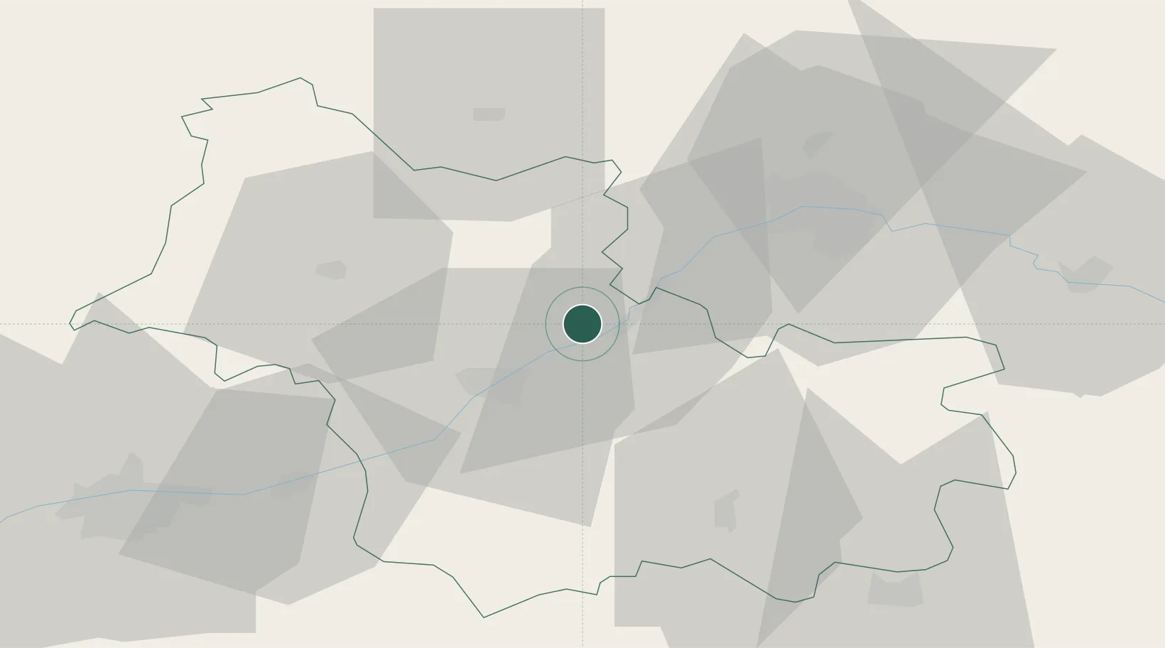
Location
Nearby Logistics Neighbours
Cities
- 1Muides-sur-Loire5 km
- 2Maslives8 km
- 3Montlivault8 km
- 4Saint-Claude-de-Diray11 km
- 5Maves11 km
Ports
- 1Port Of Rouen197 km
- 2Deauville213 km
- 3Honfleur213 km
- 4Port De Caen214 km
- 5Ouistreham218 km
Airports
- 1Orléans-Bricy (BA 123) Air Base37 km
- 2Châteaudun Airfield41 km
- 3Tours Val de Loire Airport65 km
- 4Châteauroux Déols airport95 km
- 5Bourges airport97 km
Trade Zones
- 1ZFU Blois22 km
- 2ZFU Orléans32 km
- 3ZFU Bourges93 km
- 4ZFU Le Mans107 km
- 5ZFU Dreux et Sainte-Gemme-Moronval117 km
DatabookThe Record of Consolidated Knowledge
France beyond logistics?