UN/LOCODE hub · France
FRMTD

Montbéliard

47.5167°, 6.8000°
28,865
Population
2
Transport functions

Transport Functions

Port
Rail
UN/LOCODE

Hub Profile

Place type
District seat
GeoNames
Region
Bourgogne
GeoNames
Population
28,865
GeoNames
Time zone
Europe/Paris
GeoNames
Elevation
327 m
GeoNames

Location

Location of FRMTD
Natural Earth 10m (public domain) · Bourgogne · FRMTD · 47.52, 6.80GoogleOSMYandex

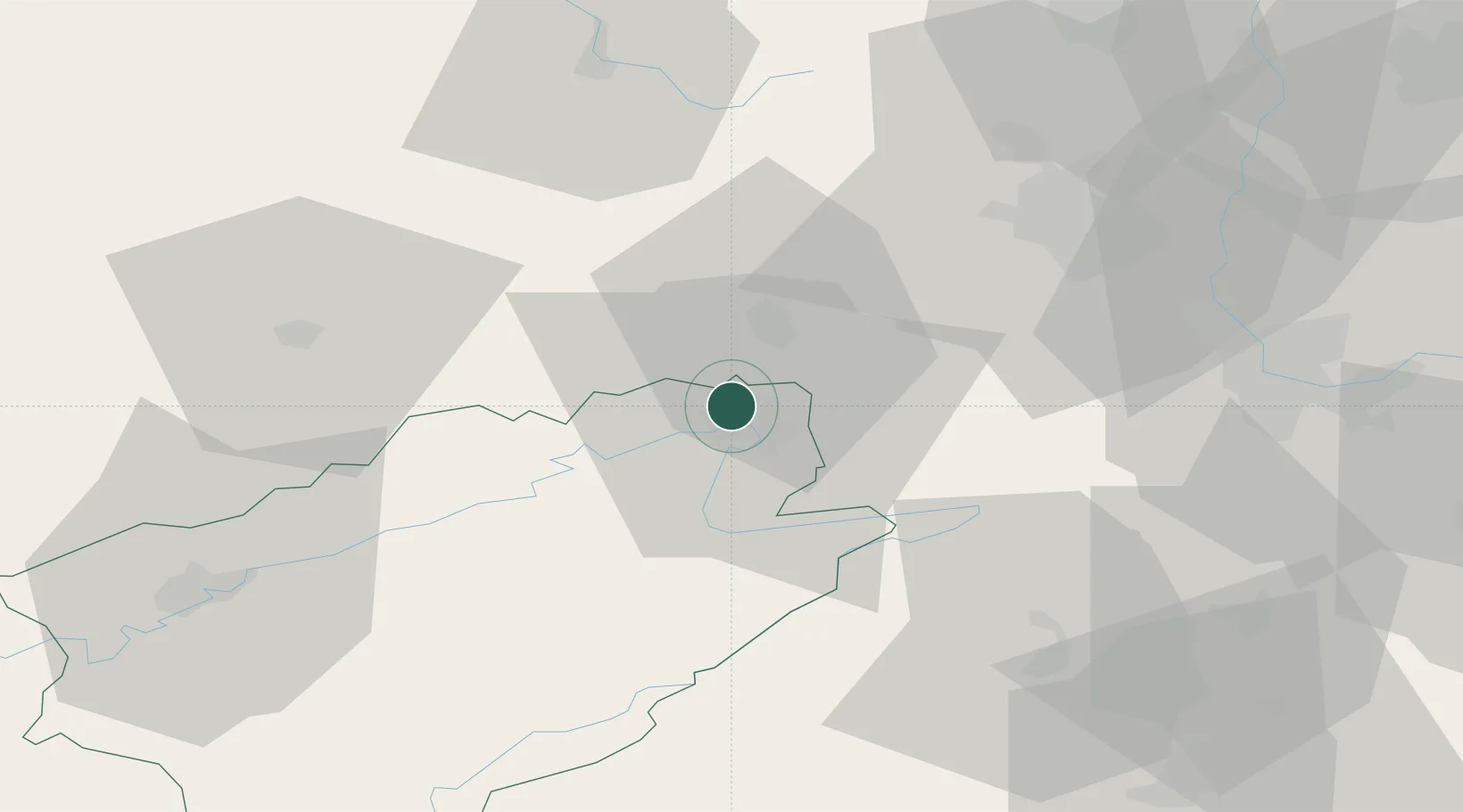
Nearby Logistics Neighbours

Cities
  1. 1Bethoncourt1 km
  2. 2Nommay4 km
  3. 3Mandeure7 km
  4. 4Dampierre-les-Bois9 km
  5. 5Botans10 km
Nearest neighbours — logibook spatial index (haversine) over the source coordinates
Ports
  1. 1Savona379 km
  2. 2Rada Di Vado384 km
  3. 3Genova384 km
  4. 4Chiavari - Lavagna407 km
  5. 5Bruxelles413 km
Nearest neighbours — logibook spatial index (haversine) over the source coordinates
Airports
  1. 1Montbéliard-Courcelles Airfield3 km
  2. 2Luxeuil-Saint-Sauveur (BA 116) Air Base45 km
  3. 3Vesoul-Frotey Airfield47 km
  4. 4Les Eplatures Airport48 km
  5. 5EuroAirport Basel–Mulhouse–Freiburg55 km
Nearest neighbours — logibook spatial index (haversine) over the source coordinates
Trade Zones
  1. 1ZFU Montbéliard2 km
  2. 2ZFU Belfort14 km
  3. 3ZFU Mulhouse48 km
  4. 4ZFU Besancon67 km
  5. 5PESA - Port-Franc et Entrepôts de Lausanne-Chavornay SA92 km
Nearest neighbours — logibook spatial index (haversine) over the source coordinates
DatabookThe Record of Consolidated Knowledge
France beyond logistics?
Browse databook

All Sources

LocationsUN/LOCODE
UN/LOCODE — free
LocationsGeoNames
CC BY 4.0
Portsthe NGA World Port Index
Public domain (US gov)
AirportsOurAirports
Public domain
Trade Zonesthe World Bank SEZ database
CC BY 4.0
Trade ZonesOpen Zone Map
CC BY
← France locations