UN/LOCODE hub · France
FRJQB
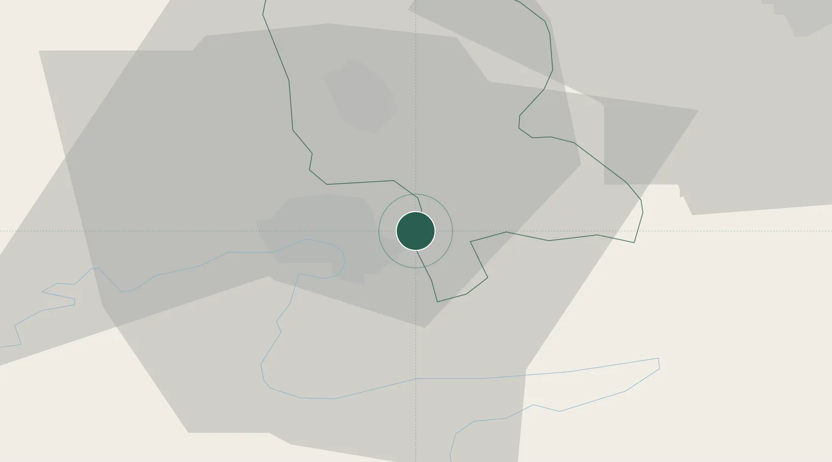
Dampierre-les-Bois
47.5000°, 6.9167°
1,524
Population
1
Transport functions
Transport Functions
Multimodal
Hub Profile
Place type
Populated place
Region
Bourgogne
Population
1,524
Time zone
Europe/Paris
Elevation
362 m
Location
Nearby Logistics Neighbours
Cities
- 1Nommay6 km
- 2Delle6 km
- 3Montbéliard9 km
- 4Brebotte10 km
- 5Bethoncourt10 km
Ports
- 1Savona375 km
- 2Genova378 km
- 3Rada Di Vado379 km
- 4Chiavari - Lavagna401 km
- 5Imperia411 km
Airports
Trade Zones
- 1ZFU Montbéliard10 km
- 2ZFU Belfort18 km
- 3ZFU Mulhouse42 km
- 4ZFU Besancon74 km
- 5PESA - Port-Franc et Entrepôts de Lausanne-Chavornay SA92 km
DatabookThe Record of Consolidated Knowledge
France beyond logistics?