Transport Functions
Rail
Road
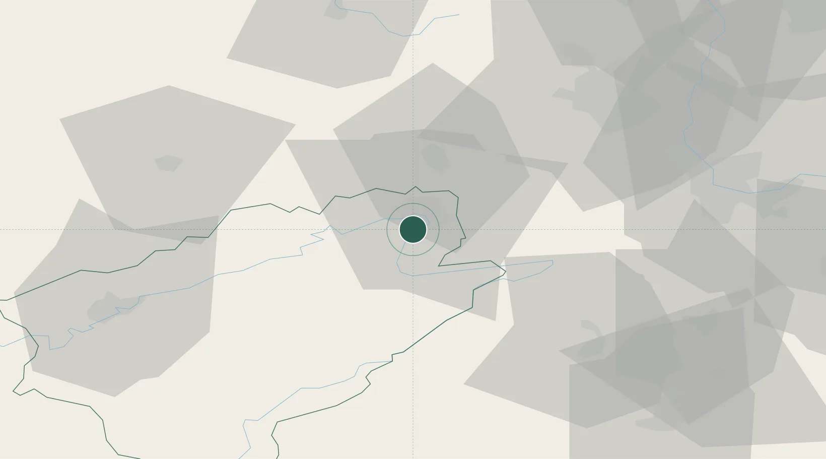
Hub Profile
Place type
Populated place
Region
Bourgogne
Population
5,416
Time zone
Europe/Paris
Elevation
330 m
Location
Nearby Logistics Neighbours
Cities
- 1Montbéliard7 km
- 2Bethoncourt8 km
- 3Pont-de-Roide8 km
- 4Vermondans8 km
- 5Nommay10 km
Ports
- 1Savona372 km
- 2Rada Di Vado377 km
- 3Genova377 km
- 4Chiavari - Lavagna401 km
- 5Imperia408 km
Airports
Trade Zones
- 1ZFU Montbéliard6 km
- 2ZFU Belfort22 km
- 3ZFU Mulhouse52 km
- 4ZFU Besancon64 km
- 5PESA - Port-Franc et Entrepôts de Lausanne-Chavornay SA84 km
DatabookThe Record of Consolidated Knowledge
France beyond logistics?