Transport Functions
Port
Rail
Road
Hub Profile
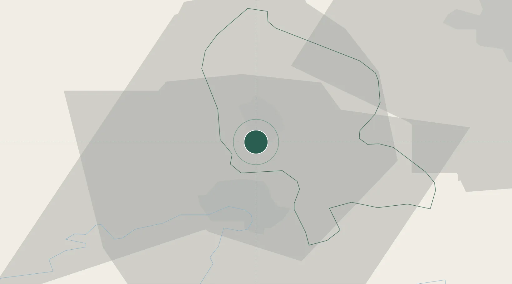
Place type
Populated place
Region
Bourgogne
Population
283
Time zone
Europe/Paris
Elevation
356 m
Location
Nearby Logistics Neighbours
Cities
- 1Bavilliers2 km
- 2Belfort4 km
- 3Nommay7 km
- 4Bessoncourt8 km
- 5Brebotte9 km
Ports
- 1Savona387 km
- 2Genova390 km
- 3Rada Di Vado391 km
- 4Bruxelles406 km
- 5Chiavari - Lavagna413 km
Airports
Trade Zones
- 1ZFU Belfort6 km
- 2ZFU Montbéliard12 km
- 3ZFU Mulhouse40 km
- 4ZFU Besancon75 km
- 5PESA - Port-Franc et Entrepôts de Lausanne-Chavornay SA101 km
DatabookThe Record of Consolidated Knowledge
France beyond logistics?