Transport Functions
Rail
Road
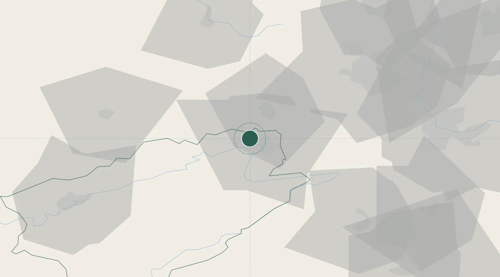
Hub Profile
Place type
Populated place
Region
Bourgogne
Population
7,182
Time zone
Europe/Paris
Elevation
361 m
Location
Nearby Logistics Neighbours
Cities
- 1Montbéliard1 km
- 2Nommay5 km
- 3Mandeure8 km
- 4Dampierre-les-Bois10 km
- 5Botans11 km
Ports
- 1Savona380 km
- 2Rada Di Vado384 km
- 3Genova384 km
- 4Chiavari - Lavagna408 km
- 5Bruxelles412 km
Airports
Trade Zones
- 1ZFU Montbéliard1 km
- 2ZFU Belfort14 km
- 3ZFU Mulhouse49 km
- 4ZFU Besancon66 km
- 5PESA - Port-Franc et Entrepôts de Lausanne-Chavornay SA91 km
DatabookThe Record of Consolidated Knowledge
France beyond logistics?