Transport Functions
Port
Road
Hub Profile
Place type
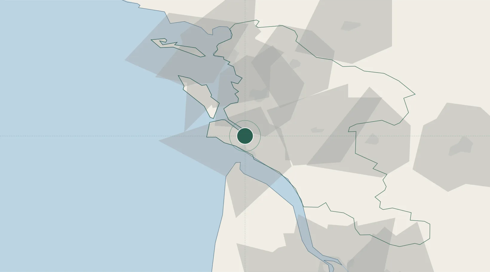
Populated place
Region
Nouvelle-Aquitaine
Population
689
Time zone
Europe/Paris
Elevation
9 m
Location
Nearby Logistics Neighbours
Cities
- 1Chaillevette2 km
- 2L'Éguille4 km
- 3Les Mathes9 km
- 4Royan11 km
- 5Médis11 km
Ports
- 1Le Verdon19 km
- 2Rochefort25 km
- 3Tonnay Charente26 km
- 4La Rochelle49 km
- 5La Pallice52 km
Airports
Trade Zones
- 1ZFU La Rochelle51 km
- 2Port de Bordeaux98 km
- 3ZFU Hauts de Garonne105 km
- 4ZFU Nantes et Saint-Herblain175 km
- 5ZFU Saint-Nazaire198 km
DatabookThe Record of Consolidated Knowledge
France beyond logistics?