UN/LOCODE hub · France
FREMD

Médis

45.6333°, -0.9500°
2,550
Population
1
Transport functions

Transport Functions

Multimodal
UN/LOCODE

Hub Profile

Place type
Populated place
GeoNames
Region
Nouvelle-Aquitaine
GeoNames
Population
2,550
GeoNames
Time zone
Europe/Paris
GeoNames
Elevation
23 m
GeoNames

Location

Location of FREMD
Natural Earth 10m (public domain) · Nouvelle-Aquitaine · FREMD · 45.63, -0.95GoogleOSMYandex

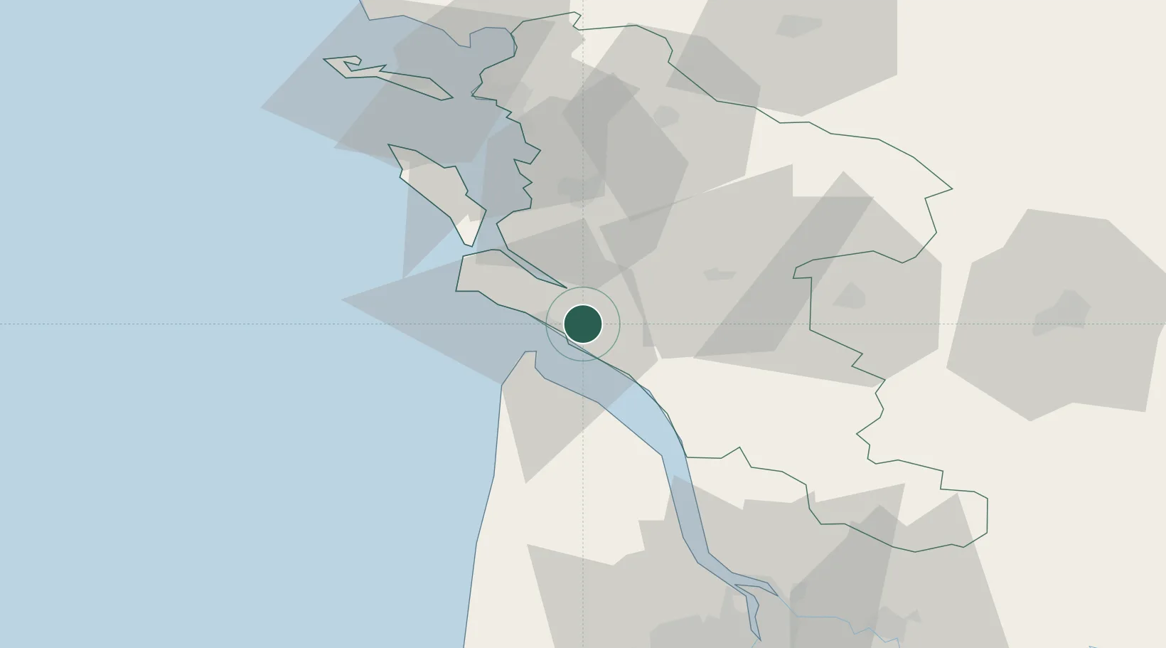
Nearby Logistics Neighbours

Cities
  1. 1Le Chay4 km
  2. 2L'Éguille8 km
  3. 3Royan8 km
  4. 4Sablonceaux11 km
  5. 5Cozes11 km
Nearest neighbours — logibook spatial index (haversine) over the source coordinates
Ports
  1. 1Le Verdon12 km
  2. 2Rochefort33 km
  3. 3Tonnay Charente34 km
  4. 4Pauillac51 km
  5. 5La Rochelle60 km
Nearest neighbours — logibook spatial index (haversine) over the source coordinates
Airports
  1. 1Royan-Médis Airport2 km
  2. 2Rochefort-Saint-Agnant (BA 721) Airport28 km
  3. 3Cognac-Châteaubernard (BA 709) Air Base49 km
  4. 4La Rochelle Île de Ré Airport64 km
  5. 5Niort - Marais Poitevin Airport87 km
Nearest neighbours — logibook spatial index (haversine) over the source coordinates
Trade Zones
  1. 1ZFU La Rochelle62 km
  2. 2Port de Bordeaux87 km
  3. 3ZFU Hauts de Garonne94 km
  4. 4ZFU Nantes et Saint-Herblain186 km
  5. 5ZFU Angers207 km
Nearest neighbours — logibook spatial index (haversine) over the source coordinates
DatabookThe Record of Consolidated Knowledge
France beyond logistics?
Browse databook

All Sources

LocationsUN/LOCODE
UN/LOCODE — free
LocationsGeoNames
CC BY 4.0
Portsthe NGA World Port Index
Public domain (US gov)
AirportsOurAirports
Public domain
Trade Zonesthe World Bank SEZ database
CC BY 4.0
Trade ZonesOpen Zone Map
CC BY
← France locations