Transport Functions
Multimodal
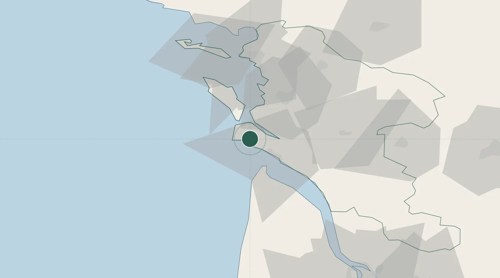
Hub Profile
Place type
Populated place
Region
Nouvelle-Aquitaine
Population
1,560
Time zone
Europe/Paris
Elevation
14 m
Location
Nearby Logistics Neighbours
Cities
- 1Chaillevette8 km
- 2Mornac-sur-Seudre9 km
- 3L'Éguille13 km
- 4Saint-Trojan-les-Bains14 km
- 5Royan14 km
Ports
- 1Le Verdon20 km
- 2Rochefort29 km
- 3Tonnay Charente31 km
- 4La Rochelle48 km
- 5La Pallice50 km
Airports
Trade Zones
- 1ZFU La Rochelle50 km
- 2Port de Bordeaux102 km
- 3ZFU Hauts de Garonne108 km
- 4ZFU Nantes et Saint-Herblain173 km
- 5ZFU Saint-Nazaire194 km
DatabookThe Record of Consolidated Knowledge
France beyond logistics?