Transport Functions
Port
Airport
Hub Profile
Place type
Populated place
Region
Nouvelle-Aquitaine
Population
19,017
Time zone
Europe/Paris
Elevation
7 m
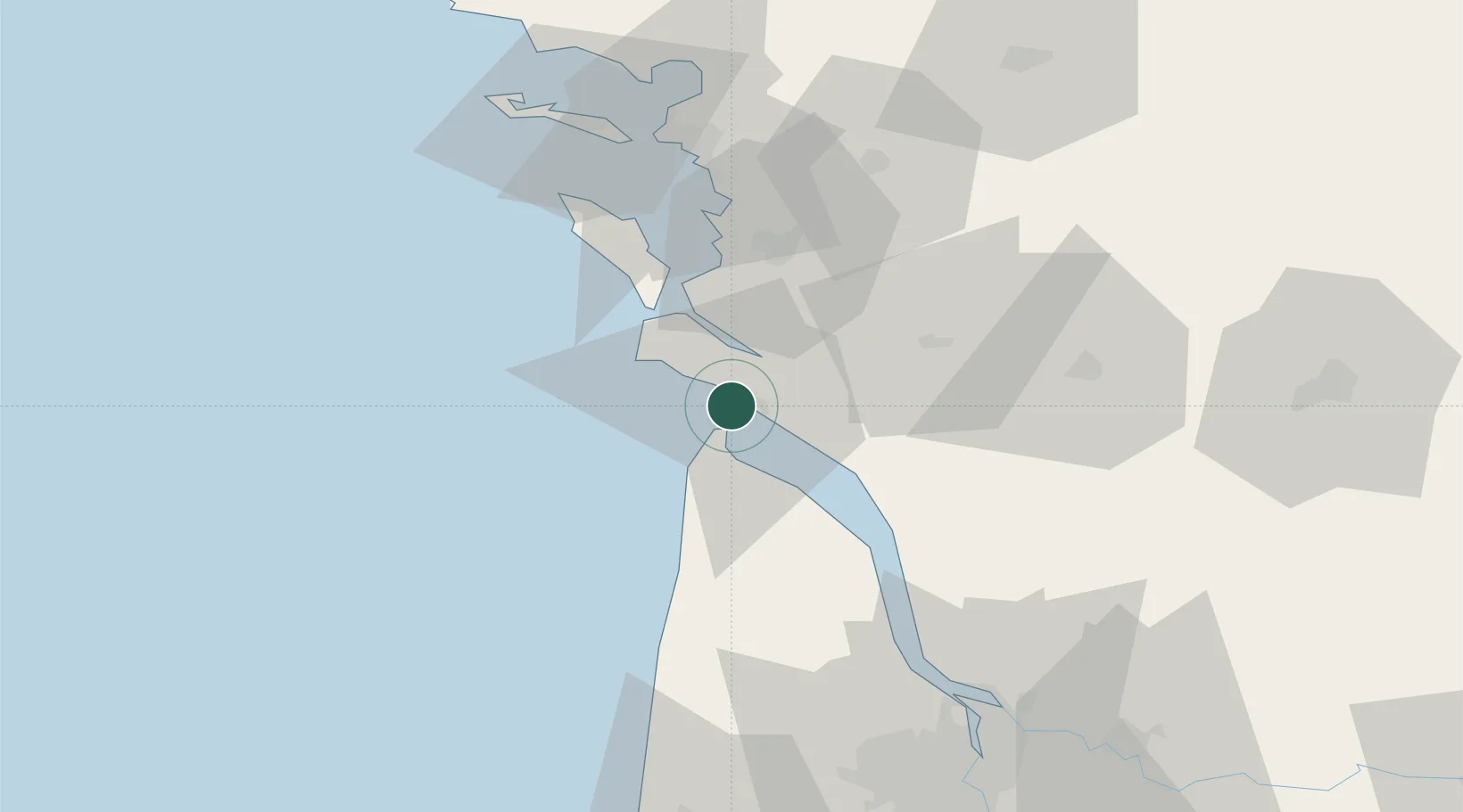
Location
Nearby Logistics Neighbours
Cities
- 1Le Verdon-sur-Mer8 km
- 2Médis8 km
- 3L'Éguille11 km
- 4Mornac-sur-Seudre11 km
- 5Le Chay12 km
Ports
- 1Le Verdon7 km
- 2Rochefort36 km
- 3Tonnay Charente37 km
- 4Pauillac52 km
- 5La Rochelle60 km
Airports
Trade Zones
- 1ZFU La Rochelle62 km
- 2Port de Bordeaux88 km
- 3ZFU Hauts de Garonne95 km
- 4ZFU Nantes et Saint-Herblain186 km
- 5ZFU Saint-Nazaire207 km
DatabookThe Record of Consolidated Knowledge
France beyond logistics?