Transport Functions
Port
Multimodal
Hub Profile
Place type
Populated place
Region
Nouvelle-Aquitaine
Time zone
Europe/Paris
Elevation
5 m
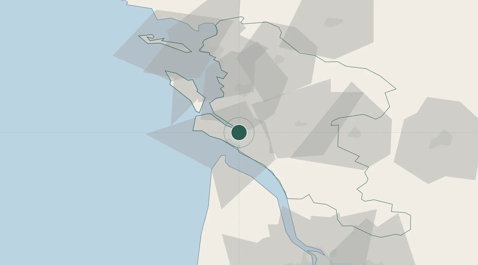
Location
Nearby Logistics Neighbours
Cities
- 1Mornac-sur-Seudre4 km
- 2Chaillevette6 km
- 3Médis8 km
- 4Sablonceaux8 km
- 5Sainte-Gemme10 km
Ports
- 1Le Verdon18 km
- 2Rochefort26 km
- 3Tonnay Charente27 km
- 4La Rochelle52 km
- 5La Pallice55 km
Airports
Trade Zones
- 1ZFU La Rochelle54 km
- 2Port de Bordeaux95 km
- 3ZFU Hauts de Garonne102 km
- 4ZFU Nantes et Saint-Herblain178 km
- 5ZFU Angers200 km
DatabookThe Record of Consolidated Knowledge
France beyond logistics?