Transport Functions
Multimodal
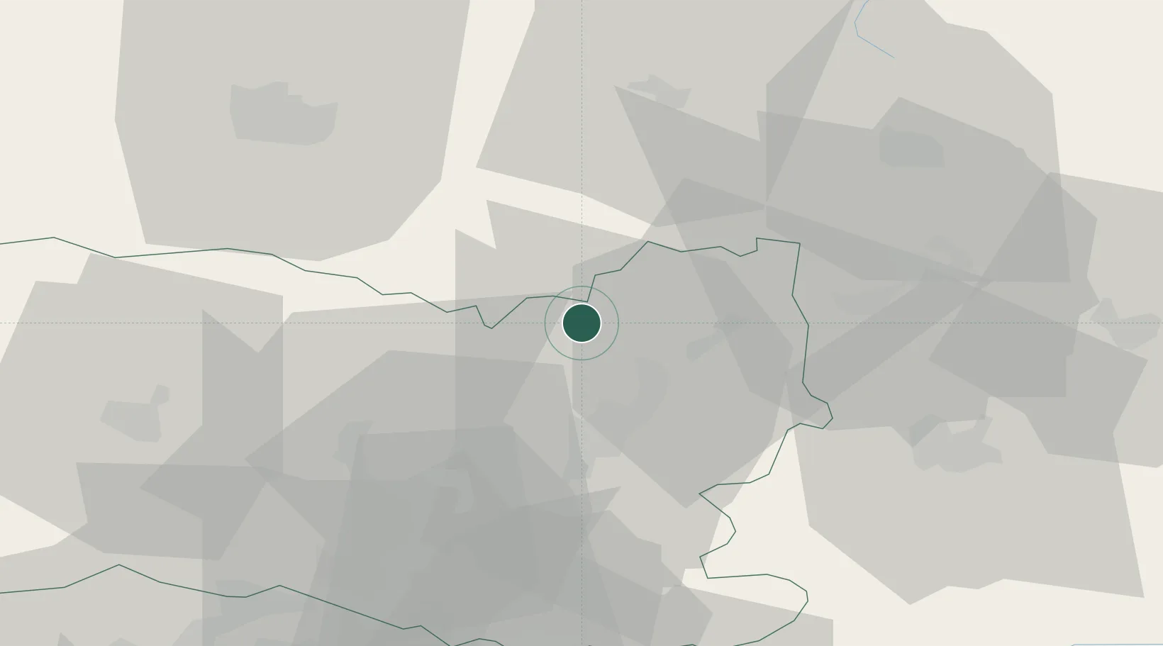
Hub Profile
Place type
Populated place
Region
Hauts-de-France
Population
392
Time zone
Europe/Paris
Elevation
71 m
Location
Nearby Logistics Neighbours
Cities
- 1Mélicocq10 km
- 2Roye13 km
- 3Pont-l'Évêque13 km
- 4Montdidier17 km
- 5Le Quesnoy18 km
Ports
- 1Saint-Valery-Sur-Somme107 km
- 2Le Treport115 km
- 3Port Of Rouen125 km
- 4Dieppe128 km
- 5Boulogne-Sur-Mer153 km
Airports
Trade Zones
- 1ZFU Le Vermandois Vermand, Fayet, Artois, Champagne42 km
- 2ZFU Presles, Chevreux44 km
- 3ZFU Creil et Montataire45 km
- 4ZFU Beauvais55 km
- 5ZFU Amiens58 km
DatabookThe Record of Consolidated Knowledge
France beyond logistics?