Transport Functions
Multimodal
Hub Profile
Place type
Populated place
Region
Hauts-de-France
Population
2,039
Time zone
Europe/Paris
Elevation
43 m
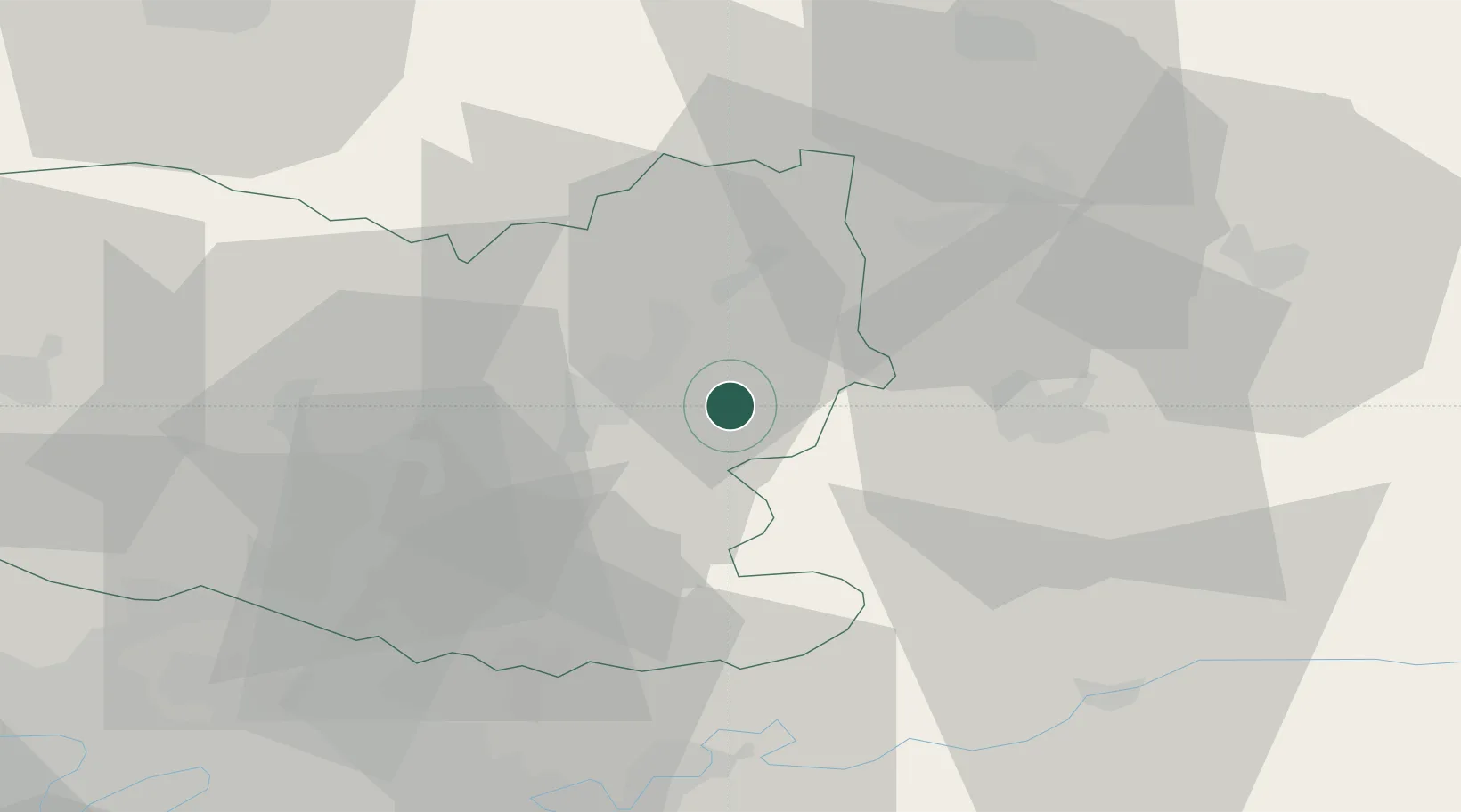
Location
Nearby Logistics Neighbours
Cities
- 1Compiègne11 km
- 2Autrêches12 km
- 3Ressons-le-Long13 km
- 4Mélicocq14 km
- 5Béthisy-Saint-Pierre16 km
Ports
- 1Saint-Valery-Sur-Somme130 km
- 2Le Treport137 km
- 3Port Of Rouen138 km
- 4Dieppe148 km
- 5Boulogne-Sur-Mer178 km
Airports
Trade Zones
- 1ZFU Presles, Chevreux25 km
- 2ZFU Creil et Montataire43 km
- 3ZFU Meaux50 km
- 4ZFU Le Vermandois Vermand, Fayet, Artois, Champagne53 km
- 5ZFU Sevran61 km
DatabookThe Record of Consolidated Knowledge
France beyond logistics?