Transport Functions
Port
Rail
Hub Profile
Place type
District seat
Region
Hauts-de-France
Population
44,243
Time zone
Europe/Paris
Elevation
42 m
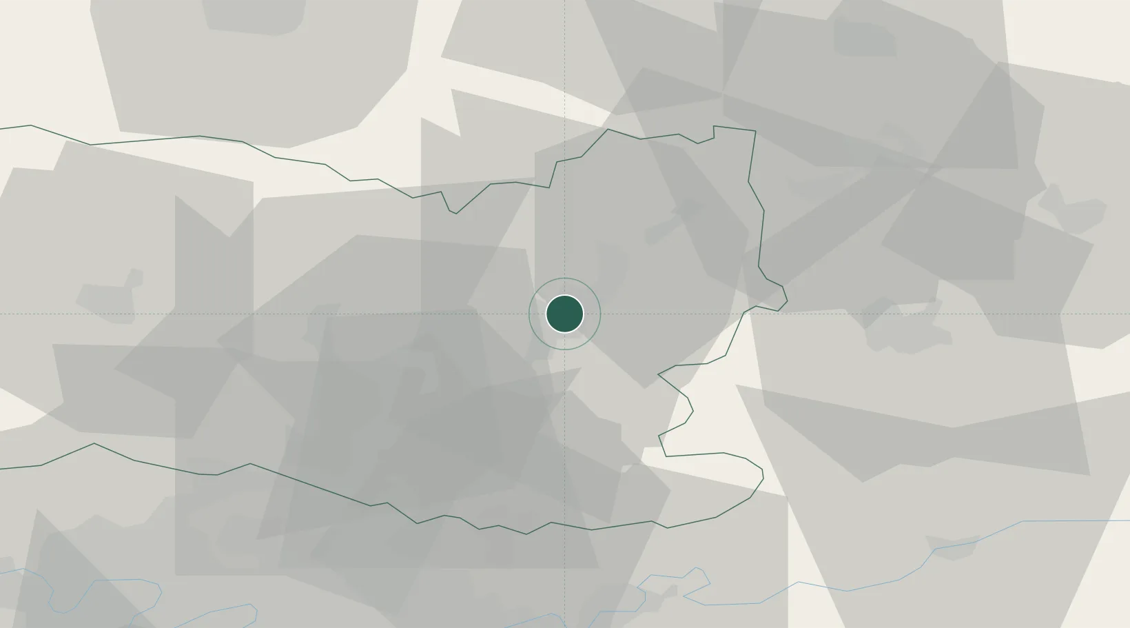
Location
Nearby Logistics Neighbours
Cities
- 1Rivecourt10 km
- 2Mélicocq10 km
- 3Trosly-Breuil11 km
- 4Béthisy-Saint-Pierre13 km
- 5Chevrières14 km
Ports
- 1Saint-Valery-Sur-Somme121 km
- 2Port Of Rouen127 km
- 3Le Treport127 km
- 4Dieppe137 km
- 5Boulogne-Sur-Mer170 km
Airports
Trade Zones
- 1ZFU Creil et Montataire34 km
- 2ZFU Presles, Chevreux36 km
- 3ZFU Meaux51 km
- 4ZFU Villiers-le-Bel55 km
- 5ZFU Beauvais55 km
DatabookThe Record of Consolidated Knowledge
France beyond logistics?