Transport Functions
Multimodal
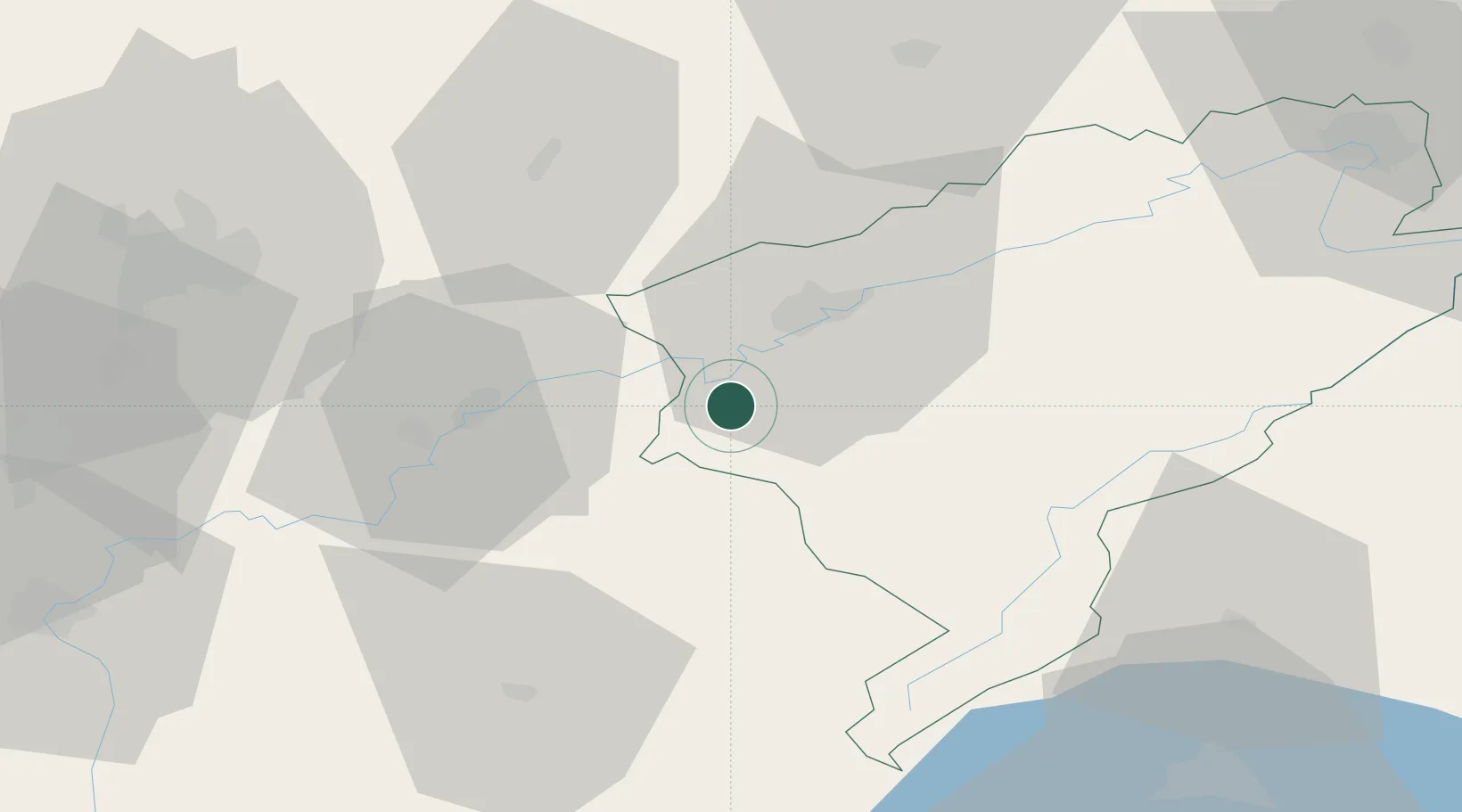
Hub Profile
Place type
Populated place
Region
Bourgogne
Population
1,088
Time zone
Europe/Paris
Elevation
265 m
Location
Nearby Logistics Neighbours
Cities
- 1Liesle8 km
- 2Montferrand-le-Château10 km
- 3Saint-Vit11 km
- 4La Chapelle-sur-Furieuse11 km
- 5Pugey12 km
Ports
- 1Savona370 km
- 2Rada Di Vado373 km
- 3Genova382 km
- 4Monaco393 km
- 5Nice394 km
Airports
- 1Dole Tavaux Airport35 km
- 2Dijon Longvic airport63 km
- 3Vesoul-Frotey Airfield65 km
- 4Les Eplatures Airport69 km
- 5Montbéliard-Courcelles Airfield81 km
Trade Zones
- 1ZFU Besancon18 km
- 2PESA - Port-Franc et Entrepôts de Lausanne-Chavornay SA67 km
- 3ZFU Chenôve71 km
- 4ZFU Montbéliard82 km
- 5Port Franc Vevey88 km
DatabookThe Record of Consolidated Knowledge
France beyond logistics?