Transport Functions
Multimodal
Hub Profile
Place type
Populated place
Region
Normandy
Time zone
Europe/Paris
Elevation
81 m
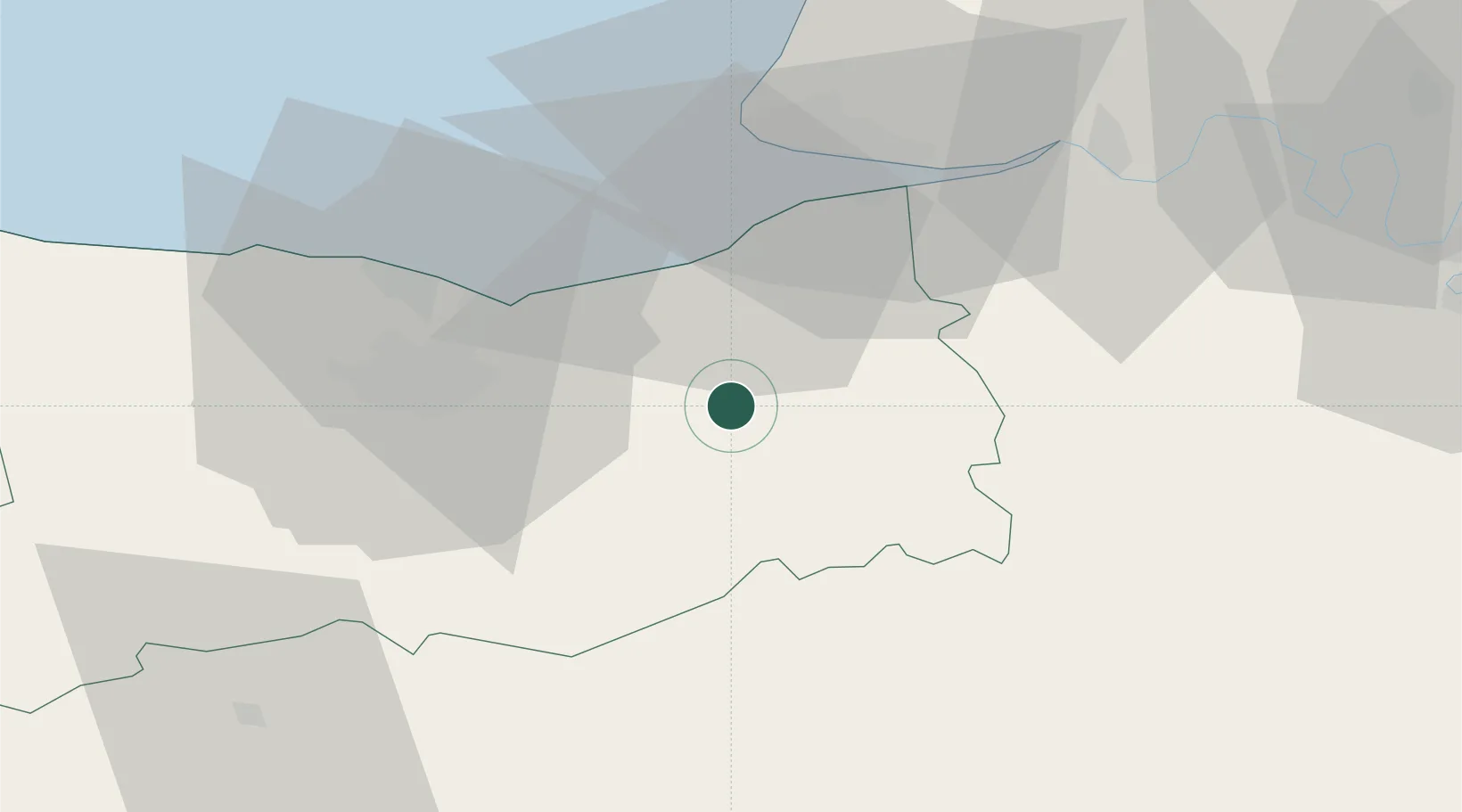
Location
Nearby Logistics Neighbours
Cities
- 1Montreuil-en-Auge2 km
- 2Repentigny6 km
- 3Silly-en-Gouffern11 km
- 4Mézidon-Canon12 km
- 5Coquainvilliers12 km
Ports
- 1Deauville24 km
- 2Ouistreham27 km
- 3Port De Caen31 km
- 4Honfleur32 km
- 5Port Of Le Havre37 km
Airports
Trade Zones
- 1ZFU Hérouville-Saint-Clair31 km
- 2ZFU La Guérinière, La Grâce de Dieu35 km
- 3ZFU Le Havre39 km
- 4ZFU Alençon80 km
- 5ZFU Évreux80 km
DatabookThe Record of Consolidated Knowledge
France beyond logistics?