Transport Functions
Rail
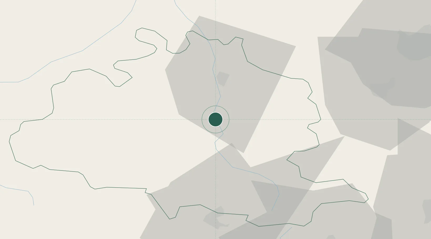
Hub Profile
Place type
Provincial seat
Region
Occitanie
Population
9,860
Time zone
Europe/Paris
Elevation
392 m
Location
Nearby Logistics Neighbours
Cities
- 1Saint-Paul-de-Jarrat7 km
- 2Verniolle11 km
- 3Saint-Jean-du-Falga13 km
- 4Les Pujols16 km
- 5Dun18 km
Ports
- 1Port-La-Nouvelle119 km
- 2Port-Vendres134 km
- 3Rosas151 km
- 4San Feliu De Guixols177 km
- 5Sete177 km
Airports
Trade Zones
- 1ZFU Toulouse72 km
- 2ZFU Perpignan110 km
- 3ZFU Béziers137 km
- 4Zona Franca de Barcelona186 km
- 5ZFU Montpellier195 km
DatabookThe Record of Consolidated Knowledge
France beyond logistics?