Transport Functions
Port
Multimodal
Hub Profile
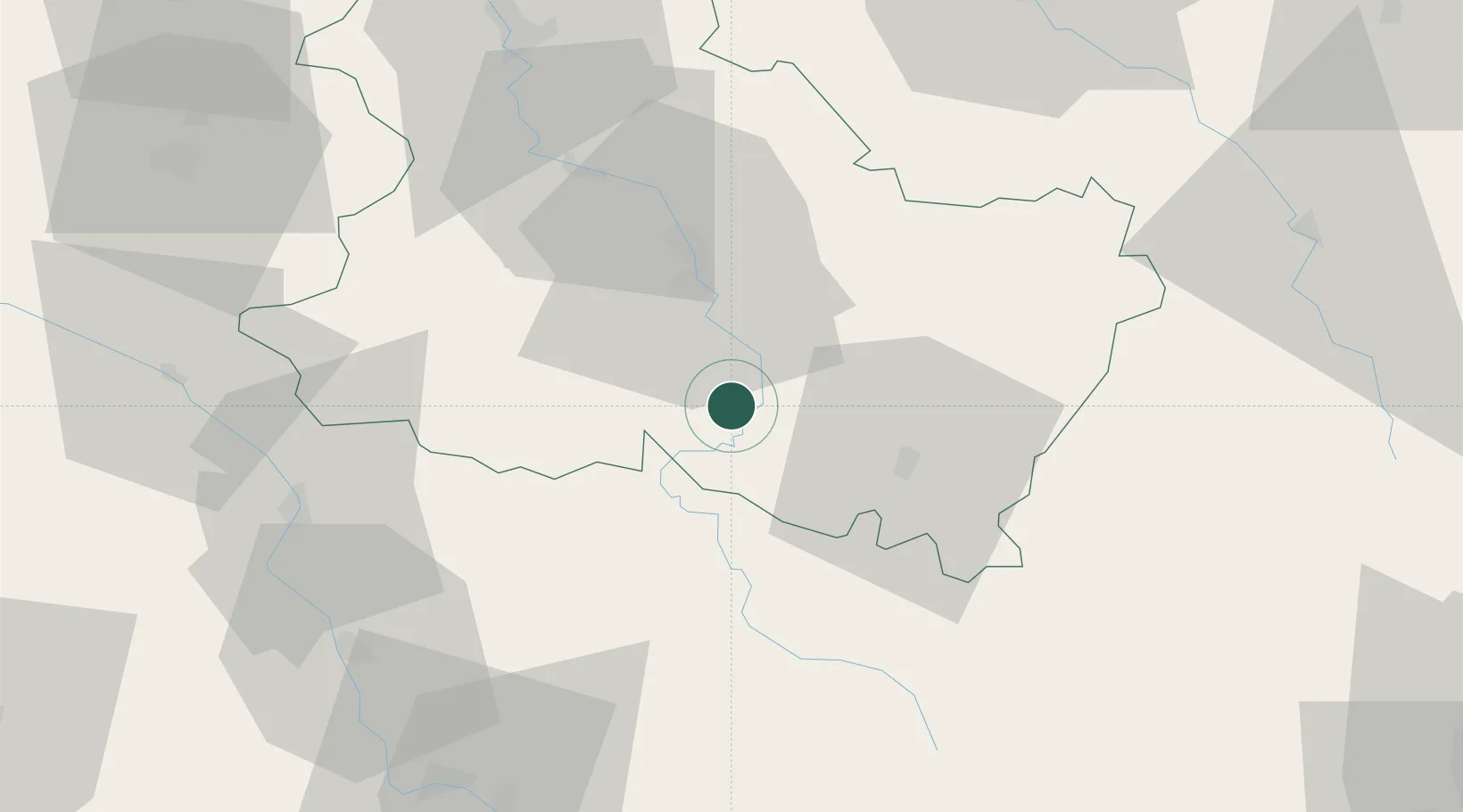
Place type
Populated place
Region
Bourgogne
Population
632
Time zone
Europe/Paris
Elevation
178 m
Location
Nearby Logistics Neighbours
Cities
- 1Arcy-sur-Cure9 km
- 2Crain10 km
- 3Cravant10 km
- 4Laurent10 km
- 5Coulanges-la-Vineuse12 km
Ports
- 1Port Of Rouen279 km
- 2Dieppe320 km
- 3Le Treport321 km
- 4Honfleur323 km
- 5Saint-Valery-Sur-Somme323 km
Airports
- 1Auxerre Branches airport30 km
- 2Nevers-Fourchambault Airport77 km
- 3Troyes-Barberey Airport85 km
- 4Avord (BA 702) Air Base97 km
- 5Bourges airport113 km
Trade Zones
- 1ZFU Sens72 km
- 2ZFU La Chapelle Saint-Luc, Les Noës-près-Troyes, Troyes, Sainte-Savine84 km
- 3ZFU Montereau-Fault-Yonne102 km
- 4ZFU Chenôve107 km
- 5ZFU Bourges114 km
DatabookThe Record of Consolidated Knowledge
France beyond logistics?