Transport Functions
Multimodal
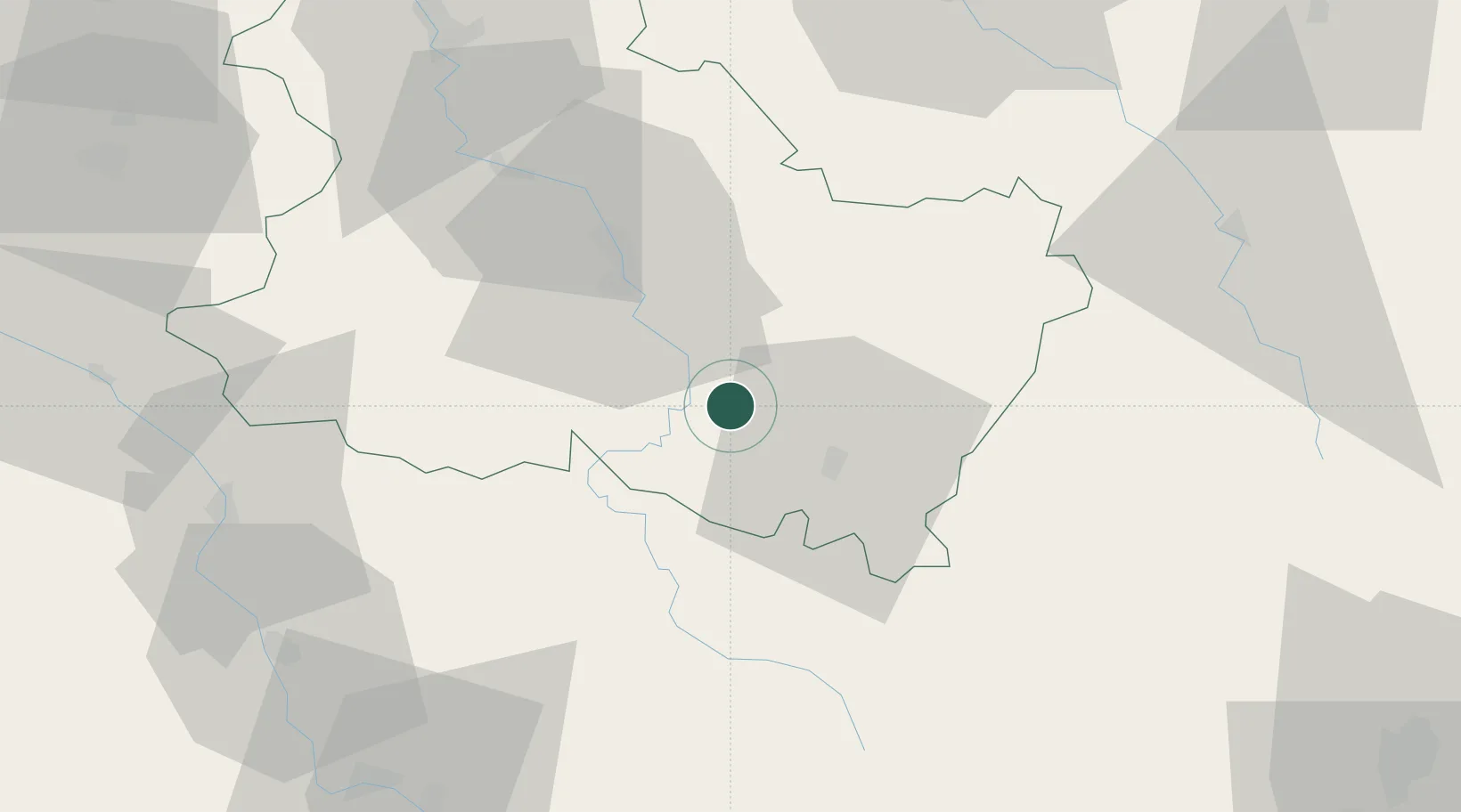
Hub Profile
Place type
Populated place
Region
Bourgogne
Population
473
Time zone
Europe/Paris
Elevation
130 m
Location
Nearby Logistics Neighbours
Cities
- 1Mailly-le-Château9 km
- 2Cravant11 km
- 3Irancy14 km
- 4Asquins15 km
- 5Saint-Père15 km
Ports
- 1Port Of Rouen285 km
- 2Dieppe325 km
- 3Le Treport325 km
- 4Saint-Valery-Sur-Somme327 km
- 5Honfleur329 km
Airports
- 1Auxerre Branches airport34 km
- 2Nevers-Fourchambault Airport82 km
- 3Troyes-Barberey Airport83 km
- 4Avord (BA 702) Air Base104 km
- 5Dijon Longvic airport107 km
Trade Zones
- 1ZFU Sens75 km
- 2ZFU La Chapelle Saint-Luc, Les Noës-près-Troyes, Troyes, Sainte-Savine81 km
- 3ZFU Chenôve99 km
- 4ZFU Montereau-Fault-Yonne106 km
- 5ZFU Bourges122 km
DatabookThe Record of Consolidated Knowledge
France beyond logistics?