Transport Functions
Multimodal
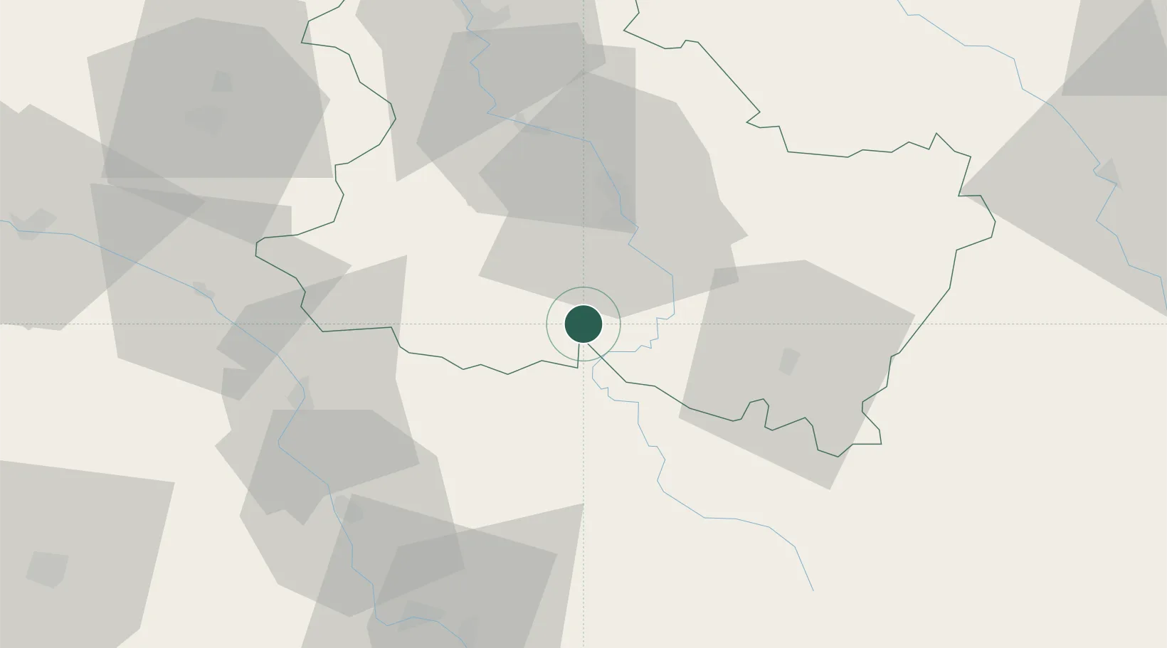
Hub Profile
Place type
Populated place
Region
Bourgogne
Time zone
Europe/Paris
Elevation
225 m
Location
Nearby Logistics Neighbours
Cities
- 1Crain7 km
- 2Mailly-le-Château10 km
- 3Coulanges-la-Vineuse14 km
- 4Cravant18 km
- 5Corvol-l'Orgueilleux18 km
Ports
- 1Port Of Rouen274 km
- 2Dieppe316 km
- 3Honfleur316 km
- 4Le Treport317 km
- 5Saint-Valery-Sur-Somme320 km
Airports
- 1Auxerre Branches airport30 km
- 2Nevers-Fourchambault Airport71 km
- 3Avord (BA 702) Air Base88 km
- 4Troyes-Barberey Airport91 km
- 5Bourges airport103 km
Trade Zones
- 1ZFU Sens70 km
- 2ZFU La Chapelle Saint-Luc, Les Noës-près-Troyes, Troyes, Sainte-Savine89 km
- 3ZFU Montereau-Fault-Yonne99 km
- 4ZFU Bourges105 km
- 5ZFU Chenôve116 km
DatabookThe Record of Consolidated Knowledge
France beyond logistics?