UN/LOCODE hub · France
FRICI

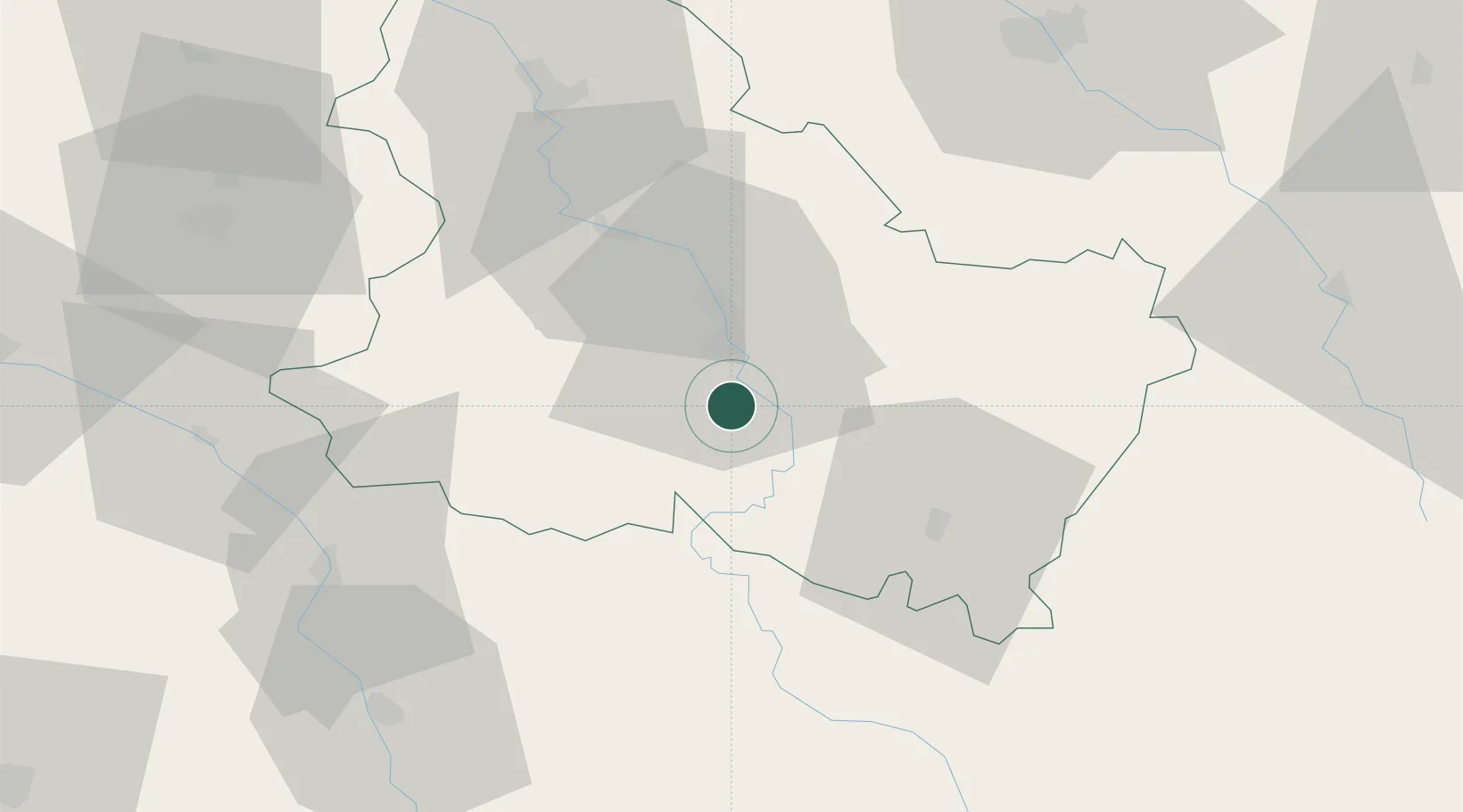
Coulanges-la-Vineuse

47.7000°, 3.5833°
957
Population
2
Transport functions

Transport Functions

Road
Multimodal
UN/LOCODE

Hub Profile

Place type
Populated place
GeoNames
Region
Bourgogne
GeoNames
Population
957
GeoNames
Time zone
Europe/Paris
GeoNames
Elevation
190 m
GeoNames

Location

Location of FRICI
Natural Earth 10m (public domain) · Bourgogne · FRICI · 47.70, 3.58GoogleOSMYandex

Nearby Logistics Neighbours

Cities
  1. 1Irancy7 km
  2. 2Cravant8 km
  3. 3Quenne11 km
  4. 4Auxerre11 km
  5. 5Chitry11 km
Nearest neighbours — logibook spatial index (haversine) over the source coordinates
Ports
  1. 1Port Of Rouen269 km
  2. 2Dieppe309 km
  3. 3Le Treport309 km
  4. 4Saint-Valery-Sur-Somme311 km
  5. 5Honfleur313 km
Nearest neighbours — logibook spatial index (haversine) over the source coordinates
Airports
  1. 1Auxerre Branches airport18 km
  2. 2Troyes-Barberey Airport76 km
  3. 3Nevers-Fourchambault Airport85 km
  4. 4Avord (BA 702) Air Base102 km
  5. 5Bourges airport116 km
Nearest neighbours — logibook spatial index (haversine) over the source coordinates
Trade Zones
  1. 1ZFU Sens60 km
  2. 2ZFU La Chapelle Saint-Luc, Les Noës-près-Troyes, Troyes, Sainte-Savine75 km
  3. 3ZFU Montereau-Fault-Yonne90 km
  4. 4ZFU Chenôve115 km
  5. 5ZFU Melun117 km
Nearest neighbours — logibook spatial index (haversine) over the source coordinates
DatabookThe Record of Consolidated Knowledge
France beyond logistics?
Browse databook

All Sources

LocationsUN/LOCODE
UN/LOCODE — free
LocationsGeoNames
CC BY 4.0
Portsthe NGA World Port Index
Public domain (US gov)
AirportsOurAirports
Public domain
Trade Zonesthe World Bank SEZ database
CC BY 4.0
Trade ZonesOpen Zone Map
CC BY
← France locations