Transport Functions
Multimodal
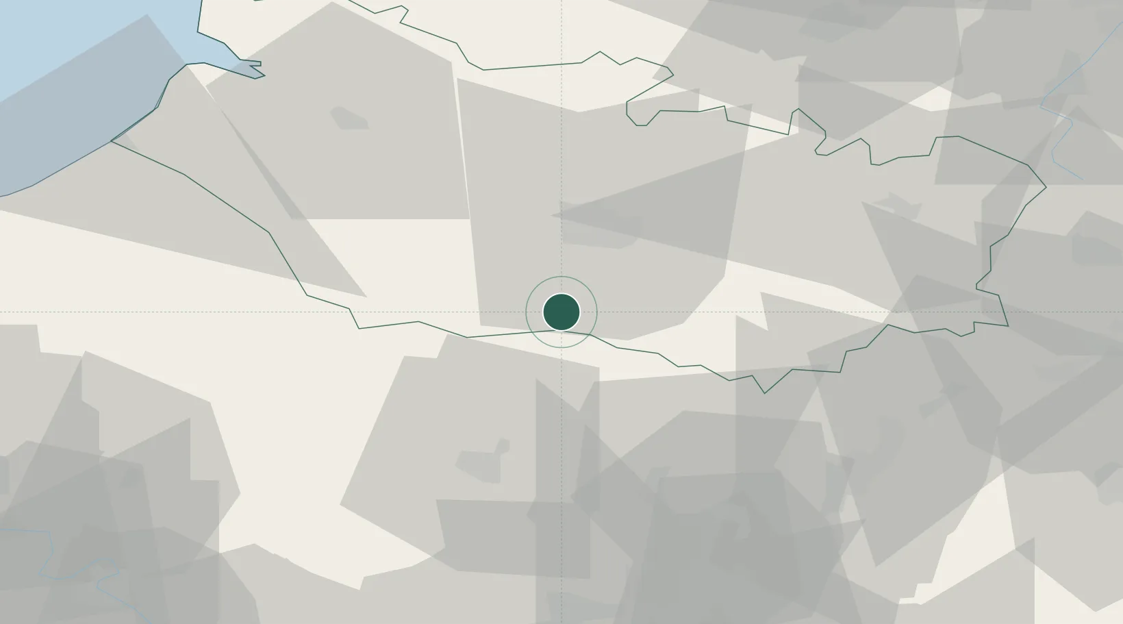
Hub Profile
Place type
Populated place
Region
Hauts-de-France
Population
345
Time zone
Europe/Paris
Elevation
157 m
Location
Nearby Logistics Neighbours
Cities
- 1Tilloy-lès-Conty5 km
- 2Luilly8 km
- 3Hardivillers13 km
- 4Longueau17 km
- 5Thennes18 km
Ports
- 1Saint-Valery-Sur-Somme68 km
- 2Le Treport73 km
- 3Dieppe87 km
- 4Port Of Rouen91 km
- 5Boulogne-Sur-Mer120 km
Airports
Trade Zones
- 1ZFU Amiens19 km
- 2ZFU Beauvais35 km
- 3ZFU Creil et Montataire54 km
- 4ZFU Le Vermandois Vermand, Fayet, Artois, Champagne70 km
- 5ZFU Villiers-le-Bel81 km
DatabookThe Record of Consolidated Knowledge
France beyond logistics?