Transport Functions
Port
Hub Profile
Place type
Populated place
Region
Normandy
Population
6,062
Time zone
Europe/Paris
Elevation
35 m
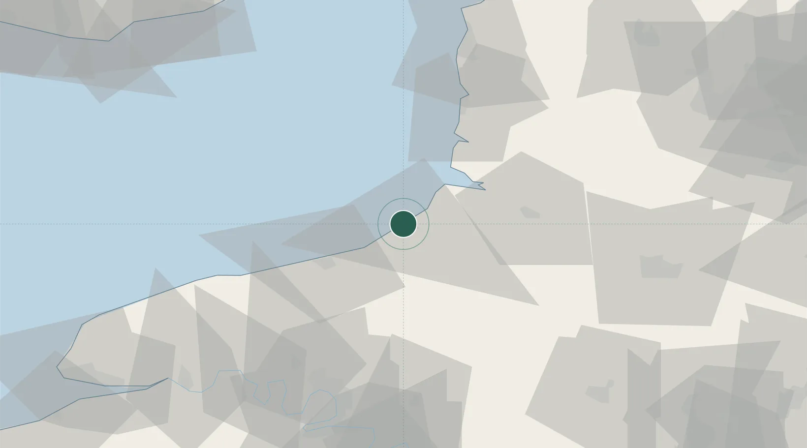
Location
Nearby Logistics Neighbours
Cities
- 1Étalondes4 km
- 2Flocques4 km
- 3Eu4 km
- 4Saint-Quentin-la-Motte-Croix-au-Bailly6 km
- 5Beauchamps11 km
Ports
- 1Saint-Valery-Sur-Somme22 km
- 2Dieppe25 km
- 3Port Of Rouen72 km
- 4Boulogne-Sur-Mer76 km
- 5Fecamp79 km
Airports
Trade Zones
- 1ZFU Amiens58 km
- 2ZFU Rouen Bihorel70 km
- 3ZFU Beauvais85 km
- 4ZFU Calais104 km
- 5ZFU Le Havre109 km
DatabookThe Record of Consolidated Knowledge
France beyond logistics?