Transport Functions
Road
Multimodal
Hub Profile
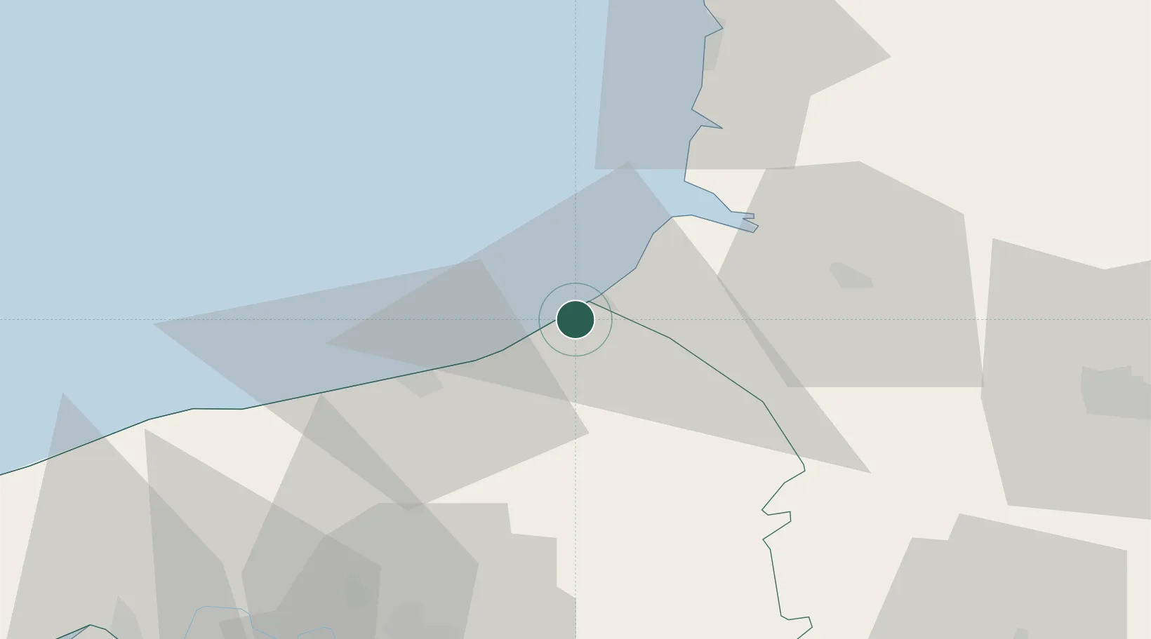
Place type
Populated place
Region
Normandy
Time zone
Europe/Paris
Elevation
77 m
Location
Nearby Logistics Neighbours
Cities
- 1Étalondes2 km
- 2Le Tréport4 km
- 3Eu5 km
- 4Saint-Quentin-la-Motte-Croix-au-Bailly8 km
- 5Beauchamps11 km
Ports
- 1Le Treport4 km
- 2Dieppe22 km
- 3Saint-Valery-Sur-Somme25 km
- 4Port Of Rouen68 km
- 5Fecamp76 km
Airports
Trade Zones
- 1ZFU Amiens58 km
- 2ZFU Rouen Bihorel66 km
- 3ZFU Beauvais83 km
- 4ZFU Le Havre106 km
- 5ZFU Calais108 km
DatabookThe Record of Consolidated Knowledge
France beyond logistics?