Transport Functions
Rail
Road
Hub Profile
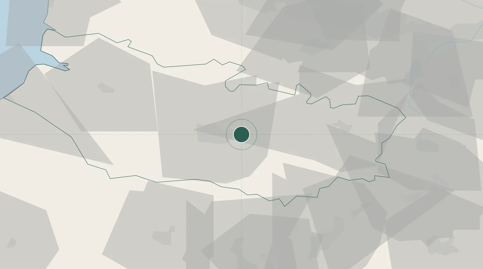
Place type
Populated place
Region
Hauts-de-France
Population
775
Time zone
Europe/Paris
Elevation
40 m
Location
Nearby Logistics Neighbours
Ports
- 1Saint-Valery-Sur-Somme67 km
- 2Le Treport80 km
- 3Dieppe98 km
- 4Boulogne-Sur-Mer111 km
- 5Port Of Rouen111 km
Airports
DatabookThe Record of Consolidated Knowledge
France beyond logistics?