Transport Functions
Multimodal
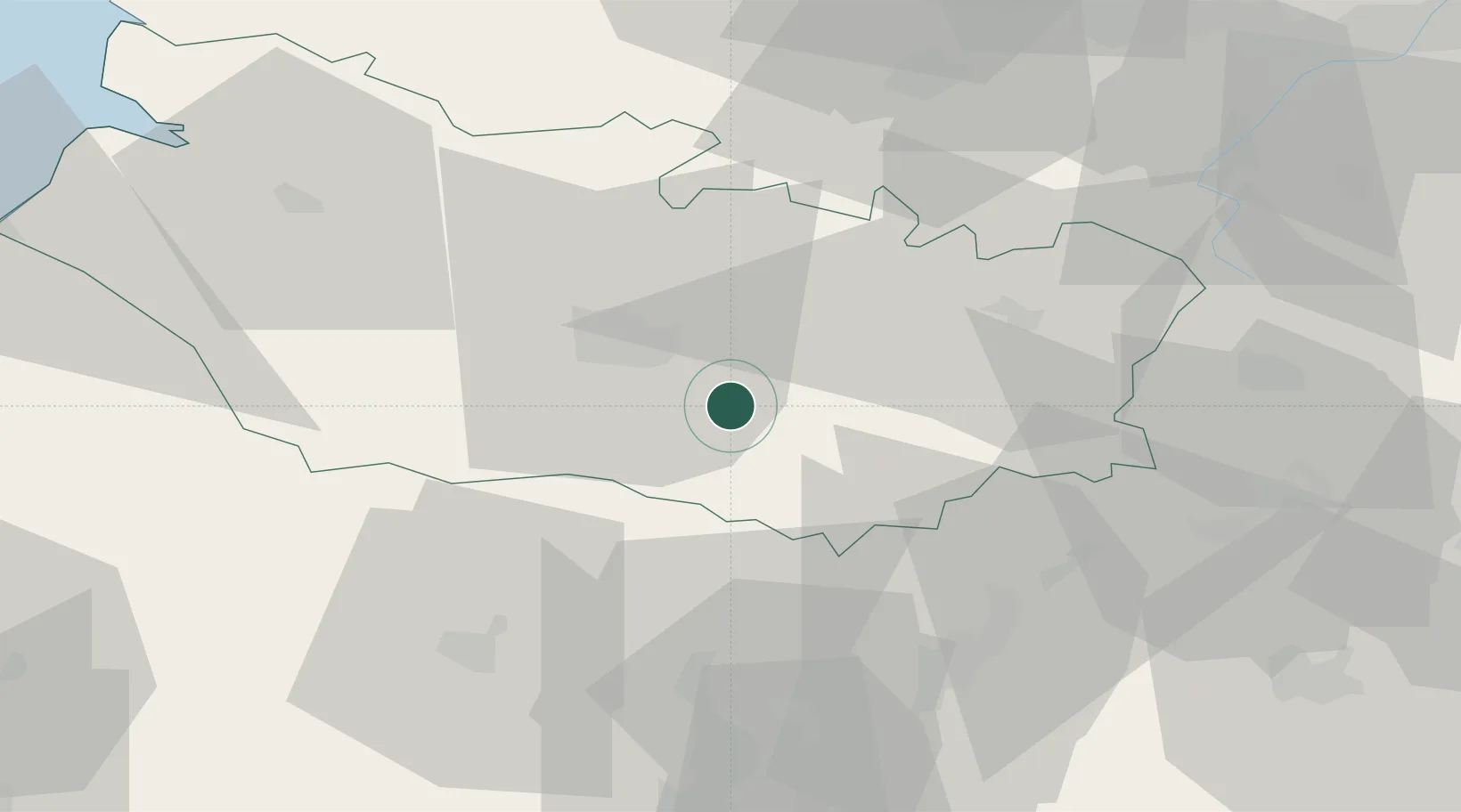
Hub Profile
Place type
Populated place
Region
Hauts-de-France
Population
362
Time zone
Europe/Paris
Elevation
38 m
Location
Nearby Logistics Neighbours
Cities
- 1Daours11 km
- 2Longueau12 km
- 3Beaufort-en-Santerre13 km
- 4Le Quesnoy14 km
- 5Harbonnières14 km
Ports
- 1Saint-Valery-Sur-Somme75 km
- 2Le Treport85 km
- 3Dieppe101 km
- 4Port Of Rouen109 km
- 5Boulogne-Sur-Mer121 km
Airports
DatabookThe Record of Consolidated Knowledge
France beyond logistics?